
Thanksgiving Feast States Map Worksheet
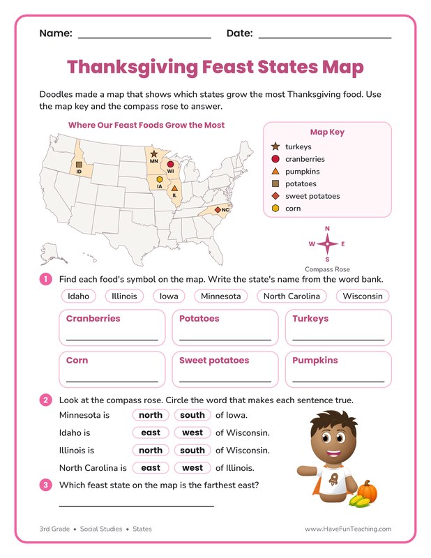
Third graders use a map key, symbols and a compass rose on this Thanksgiving feast states map page to find the states that grow six holiday foods. Answer key included.
$6.97
Want this one free?
Tell us where to send it and it’s yours — no card, no catch.
One free resource per teacher. We’ll also send free teaching ideas each week — unsubscribe anytime.
Free teacher account · no credit card
Membership
Get every game, song, & printable
- Every game, on any device
- 6,700+ resources
- Assign online with HFT Classroom
Then $39.97/year · cancel anytime · See plans
- Instant digital download
- Printable PDF + answer key
- Made by real teachers
Teacher / Family membership
Teaching is easier with every resource
One membership for your whole year: 6,700+ worksheets, games, songs and videos for Preschool–6th, for your classroom or homeschool.
- Unlimited printables & downloads
- Every game, on any device
- Assign online with HFT Classroom
- Cancel anytime
Teacher / Family membership · 3 days free
Yearly
Monthly would be $119.64 a year
$3.33/month
Billed $39.97 once a year
You save $79.67 every year
Start My 3 Free Days$0 today · cancel anytime
Monthly
$9.97/month
Flexible, month to month
Yearly is just $3.33/mo. Switch and save $79.67
Start My 3 Free Days$0 today · cancel anytime
About this resource
Description
Where does the food on a holiday table really come from? On this Thanksgiving feast states map worksheet, third graders read a real U.S. map to learn which states grow the most turkeys, cranberries, pumpkins, potatoes, sweet potatoes and corn, while Doodles points the way.
The page opens with a full map of the United States titled Where Our Feast Foods Grow the Most. Six states are shaded, and each one carries a symbol and its postal code: a star in Minnesota, a circle in Wisconsin, a triangle in Illinois, a square in Idaho, a diamond in North Carolina and a hexagon in Iowa. A map key beside the map tells what each symbol stands for, and a compass rose shows north, south, east and west. In Part 1, children look up each food in the key, find that symbol on the map, read the postal code and write the state’s full name from a word bank. In Part 2, they use the compass rose to circle the word that makes four sentences true, such as Idaho is east or west of Wisconsin. Part 3 asks which feast state is the farthest east. Every fact comes from real farm data, so students learn true geography while they practice reading a map key, symbols and cardinal directions.
What’s Included
- A full U.S. map with Alaska and Hawaii insets and six shaded feast states
- A map key with six symbols and a compass rose
- Six write-the-state answers with a word bank
- Four circle-the-direction sentences and one farthest-east question
- Cartoon art of Doodles beside a pumpkin and corn
- An answer key for every part
Why Kids Love It
- Real Thanksgiving foods give children a reason to care where each state is.
- Using a map key, symbols and a compass rose builds the exact map skills third grade standards expect.
- Postal codes plus a word bank let students connect a state’s shape, its abbreviation and its full name.
Ideas for Teachers and Parents
Before the page, have students find your own state on a classroom map and name the direction to each feast state. Use this Thanksgiving feast states map sheet in a November social studies block, at a geography center or as homework before the holiday break. For an extra challenge, ask students to list the foods on their own family table and look up one state that grows a food not on the map.
Related Resources
What teachers say
Reviews
Write a review, earn store credit
Get $1.00 in credit for every approved review of a resource you’ve downloaded, played or purchased — up to 5 a month. Credit applies automatically to your membership payments, so your reviews can help pay for your membership.
Honest reviews only — any star rating earns the same. Program rules
Log in to write a review and earn store credit.
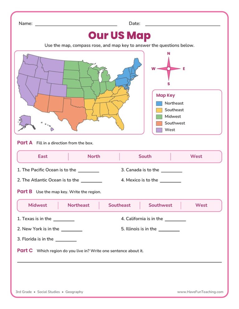
This US Map Worksheet helps 3rd grade students name the five regions of the United States, use a compass rose, and read a map key. An answer key is included, making map skills easy and fun to practice.

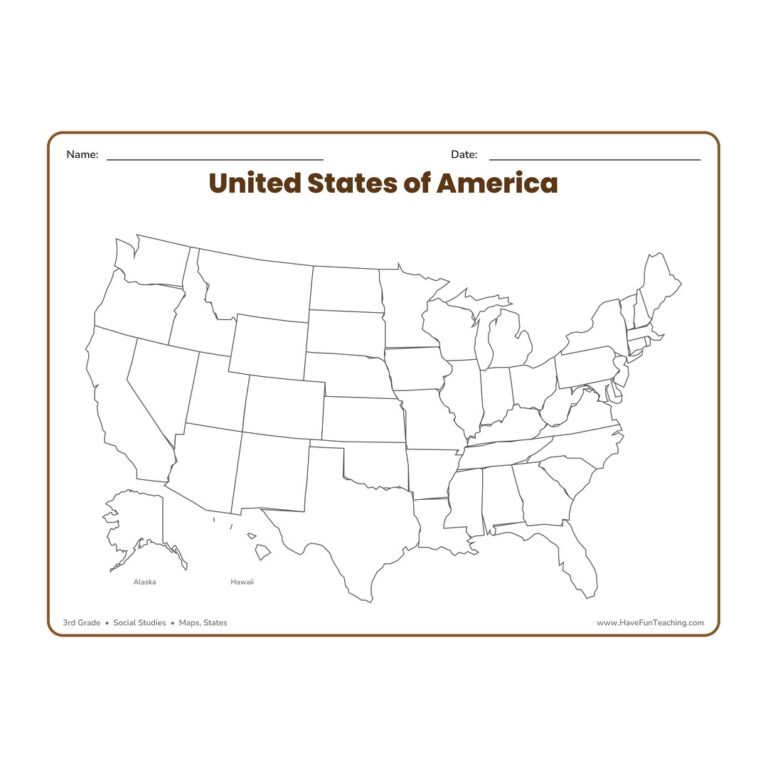
The United States Blank Map Worksheet gives 3rd graders a full, landscape outline map of the USA with all fifty states left blank and ready to label, color, or study for hands-on geography and map-skills practice.

The Missouri Worksheet gives 3rd Grade students an original informational text about the state, four multiple-choice questions, one written response, and a full answer key.
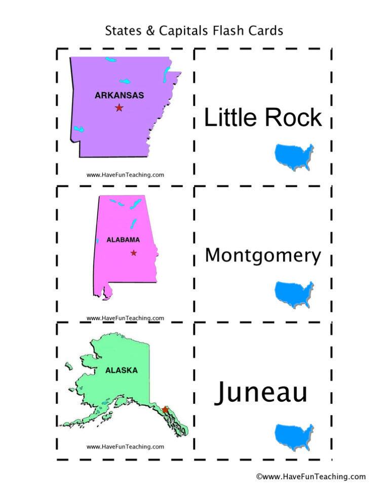
These US states and capitals flash cards help 3rd to 5th grade students learn all 50 capitals, with a locator map on every card. Answer key included.

This West Virginia Worksheet gives 3rd Grade students a short nonfiction passage about the Mountain State, four bubble questions and one written response, with an answer key included, so every fact is right on the page.

These US states black and white flash cards help 1st to 5th grade students name all 50 states by their shapes, with easy fold-over cards and an answer key included.

A Hawaii Worksheet for 3rd grade social studies, with a short passage on the islands, statehood, the state bird and the state flower, plus questions and a written response. An answer key is included.
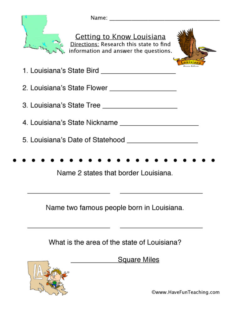
This Louisiana Worksheet gives 3rd grade students a word bank of state facts to sort into six categories, plus two written questions about the Pelican State. An answer key is included.

This Alaska worksheet gives 3rd grade students a short nonfiction passage about Alaska, four multiple-choice questions, a written response and an answer key, so they practice finding evidence in a text.
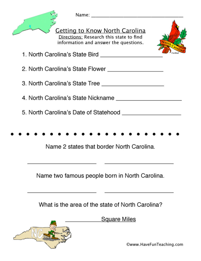
This North Carolina worksheet gives 3rd grade students a short nonfiction passage about the state and five questions that send them back to the text for evidence. An answer key is included.
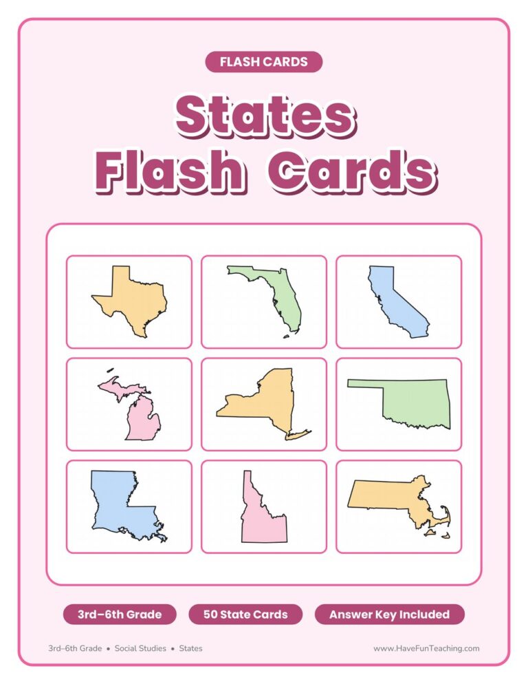
US states and capitals state shape flash cards for 3rd to 6th grade: 50 fold-over cards with a state outline on the front and its name and capital inside. Answer key included.
Reviews
There are no reviews yet