Skip to content
Start My 3 Free Days $0 today · cancel anytime

6th Grade Geography Resources

2 6th grade geography resources: 1 song, 1 video, 1 activity and more. How teachers use these

6th Grade Geography Resources

2 6th grade geography resources: 1 song, 1 video, 1 activity and more. How teachers use these

Flash Cards
Flash Cards6th GradeUS States and Capitals State Shape Flash Cards

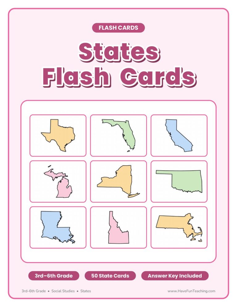
US states and capitals state shape flash cards for 3rd to 6th grade: 50 fold-over cards with a state outline on the front and its name and capital inside. Answer key included.

From our teachers' playbook

Maps, places and the big picture

What do 6th graders learn about geography?

Sixth graders use geography to understand how places shape people. They read maps with scales and legends, find locations with latitude and longitude, and compare physical maps with political ones. Many classes study world regions and ancient civilizations, asking why early cities grew near rivers like the Nile and the Tigris. They also review the U.S. states and capitals and learn the five themes of geography: location, place, region, movement and human-environment interaction. The click is seeing that geography explains history.

Our favorite ways to teach geography

Geography sticks best when kids can see it, say it and use it.

Sing the states

Play the 50 states song as a warm-up while kids follow along on a blank map. Pause and point to a random state for someone to name. The song gives them the list; the map gives them the location.

Why it works: a catchy, repeating tune gives the brain a hook to hang words on, so sung text is remembered better (Wallace, 1994).

50 States SongTry it with50 States SongSongsOpen it →
Shape, state, capital

Flash a state shape and have teams name the state and its capital. Track the tricky ones on a class chart and review those first next time. Short recall rounds beat a long memorizing session.

Why it works: a big review of study methods ranked quick self-quizzing among the most powerful ways to remember (Dunlosky and colleagues, 2013).

US States and Capitals State Shape Flash CardsTry it withUS States and Capitals State Shape Flash CardsFlash CardsOpen it →

Map the river cities

Give kids a physical map of a region and ask them to predict where the first cities grew. Then show the real ones along rivers. Making a prediction from the map turns memorizing into reasoning.

Why it works: children learn more from words and pictures together than from words alone (Mayer, 2009).

Questions parents and teachers ask

What geography is taught in 6th grade?

Map skills, latitude and longitude, world regions, and how geography affected ancient civilizations. Many classes also review U.S. states and capitals.

What are the five themes of geography?

Location, place, human-environment interaction, movement and region. They're a simple way to ask questions about any place on Earth.

How do I teach latitude and longitude?

Latitude lines run east to west and measure north or south of the equator. Longitude lines run north to south and measure east or west of the prime meridian. Practice with a grid game first.

How can kids learn the 50 states and capitals?

Learn them by region, a few at a time, with a song and state-shape flash cards. Quiz often in short bursts and focus on the ones they miss.