
Neighborhood Map Worksheet
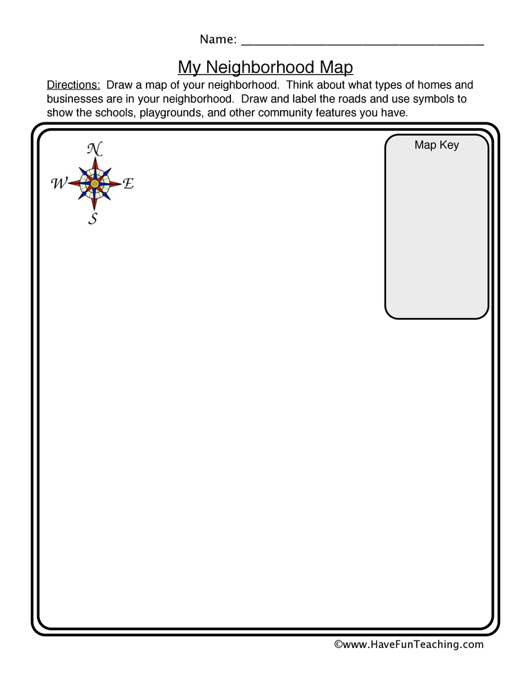
This neighborhood map worksheet has 2nd graders draw their own street from above, then invent symbols and explain them in a map key. An open-ended template that builds real map skills.
$6.97
Or free with a membership — members pay $3.33/mo for all 10,000+ resources. See plans
Want this one free?
Tell us where to send it and it’s yours — no card, no catch.
One free resource per teacher. We’ll also send free teaching ideas each week — unsubscribe anytime.
Teaching is easier with a membership
Unlimited printables, games & videos for PreK–6th — for your classroom or homeschool. Cancel anytime.
Start your 3-day free trial$0 today · cancel anytime · Instant access to 10,000+ resources
About this resource
Description
A map is a drawing of a real place seen from above, and the first place a child can map well is the one they walk through every day. This neighborhood map worksheet asks students to picture their own street from a bird’s-eye view and put it on paper: the homes, the roads that connect them, the park on the corner, the school down the block. Mapping a familiar place is how young geographers learn that a symbol can stand for a real thing, that a map key explains those symbols to a reader, and that a compass rose tells you which way is north. Those three ideas — symbol, key, and direction — are the foundation of every map a student will read for the rest of school.
This 2nd grade map skills worksheet gives students a large open map frame with a compass rose already drawn in the corner, plus a Map Key panel underneath with four symbol boxes and a line beside each one. Students sketch their neighborhood inside the frame, invent a simple symbol for each kind of place they include, draw that symbol in a key box, and write what it stands for on the line next to it. Because every child’s neighborhood is different, every map is different — this is an open-ended template, and there is no single correct response. Encourage students to use the compass rose as they work and to describe where things sit relative to each other: the library is east of the school, the park is south of my house.
What’s Included
- 1 print-ready PDF worksheet
- A full-page map frame with a compass rose
- A four-symbol Map Key panel with writing lines
Three things make this neighborhood map worksheet worth the class time. First, it moves students from reading someone else’s map to building their own, which is the step where symbols finally make sense. Second, the Map Key panel forces a genuine decision: a symbol is only useful if it is simple enough to repeat and clear enough to explain. Third, the bird’s-eye view is a real spatial-reasoning challenge — turning a place you walk through into a place you look down on is exactly the mental move that map skills are built on.
Extend the lesson in a few directions. Walk a block of the school neighborhood together, then come back and map it from memory before checking a satellite view. Have partners swap finished maps and try to give each other directions using only north, south, east, and west. Compare two students’ maps and talk about why the same street can look different depending on what each mapmaker chose to include. For a display, mount the finished maps side by side and let the class find the places that show up on more than one.
Related Resources
What teachers say
Reviews
You must be logged in to post a review.

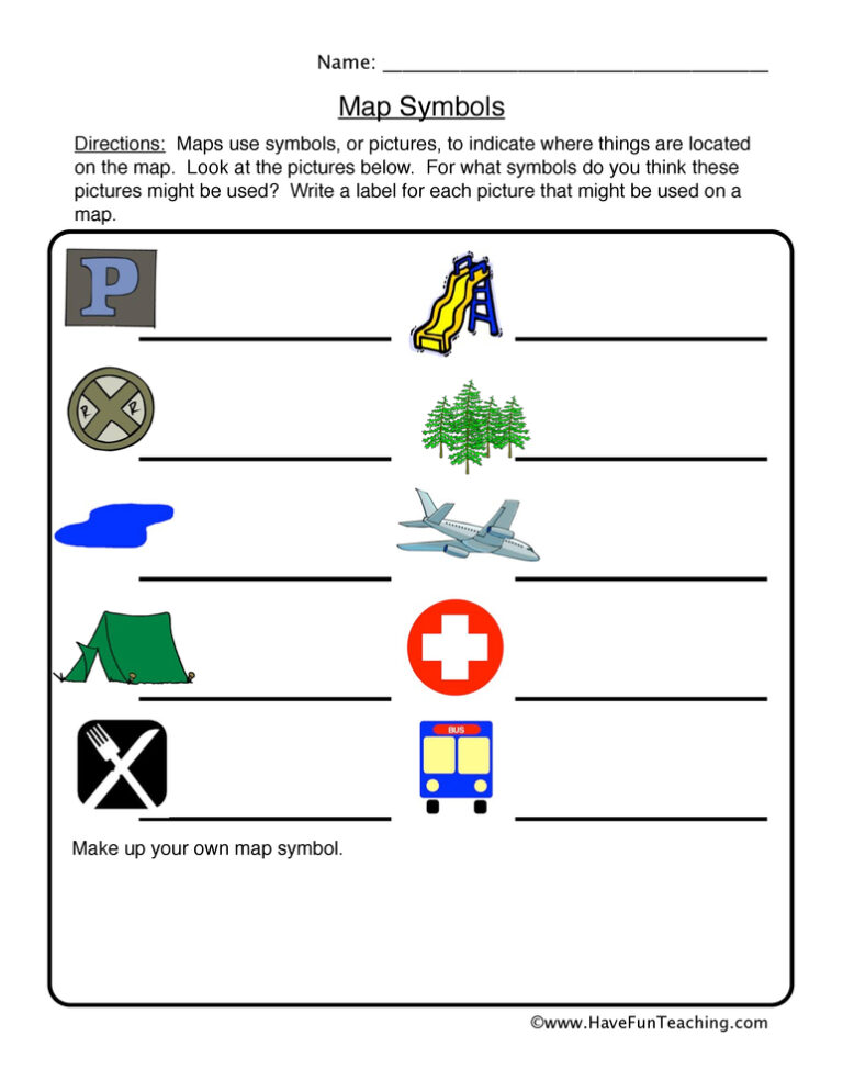
This map symbols worksheet asks 2nd grade students to name six common map pictures using a word box with two extra choices. A full answer key is included, so map key practice takes no prep.

Using this National Parks Activity, students answer questions to find out if they have the same knowledge as a National Park Ranger.

Using Color Me Curious Research Writing Activity, students participate in shared research and writing projects to learn about any topic.
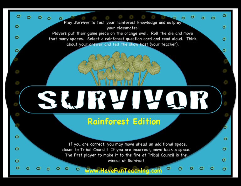
Using this Survivor Rainforest Edition Activity, students play the survivor board game to test your knowledge of animals and their habitats.
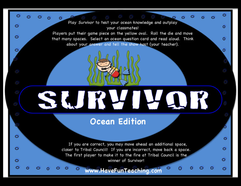
Using this Survivor Ocean Edition Activity, students play the survivor board game to test your knowledge of animals and their habitats.
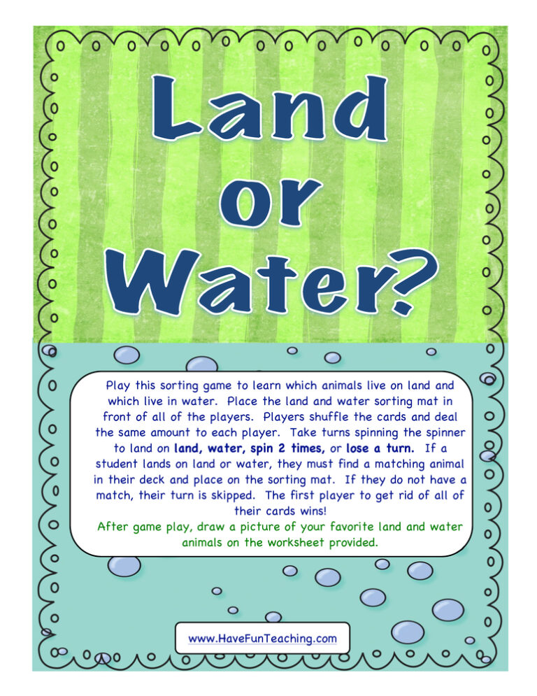
Using this Land or Water Activity, students play this sorting game to learn which animals live on land and which live in water.
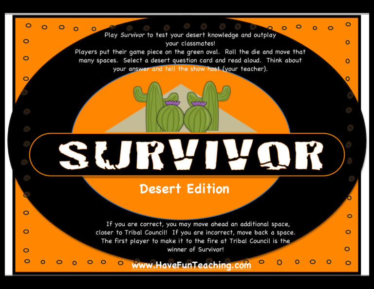
Using this Survivor Desert Edition Activity, students play the survivor board game to test your knowledge of animals and their habitats.
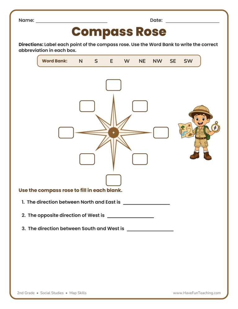
This Compass Rose Worksheet helps 2nd graders label the eight points of a compass rose and practice cardinal and intermediate directions. Includes an answer key for easy, no-prep map skills practice.
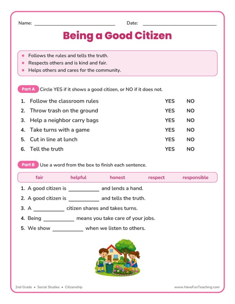
This being a good citizen worksheet helps 2nd graders spot good-citizen actions and build character words like honest, fair, and responsible. Includes an answer key for easy, no-prep social studies practice.
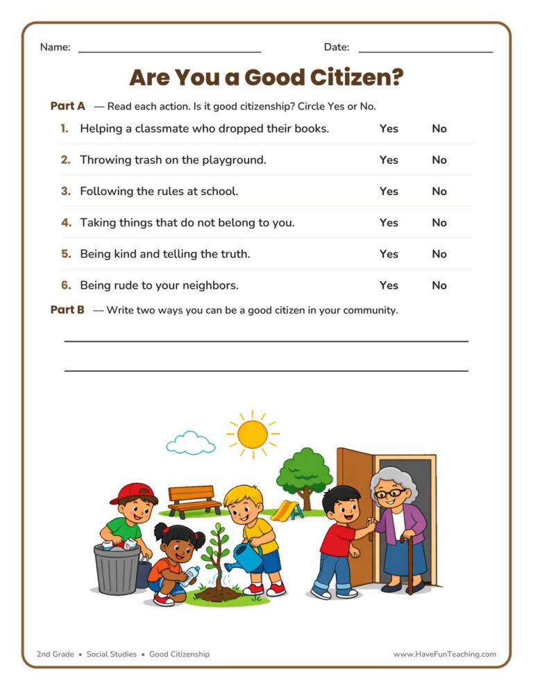
This good citizenship worksheet helps 2nd graders recognize responsible actions and write ways to help their community. An answer key is included for quick, no-prep character education practice.
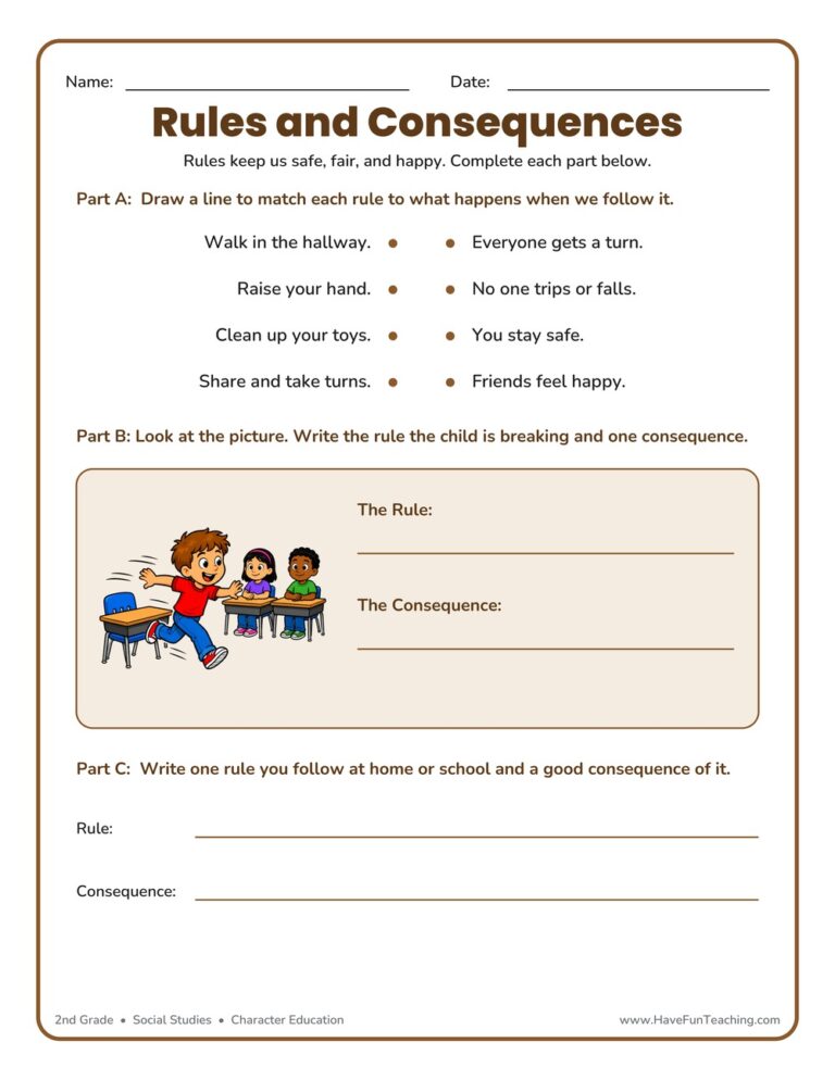
This rules consequences worksheet helps 2nd graders match rules to their results, read a picture to name a rule and consequence, and reflect on a rule of their own. Includes an answer key for quick, no-prep character education practice at home or school.
Reviews
There are no reviews yet