
Population Map Worksheet
Students read a full-color U.S. population map worksheet, use the map key to compare states, and explain their thinking. Built for 3rd grade with a complete answer key – no-prep geography practice.
$6.97
Or free with a membership — members pay $3.33/mo for all 10,000+ resources. See plans
Want this one free?
Tell us where to send it and it’s yours — no card, no catch.
One free resource per teacher. We’ll also send free teaching ideas each week — unsubscribe anytime.
Teaching is easier with a membership
Unlimited printables, games & videos for PreK–6th — for your classroom or homeschool. Cancel anytime.
Start your 3-day free trial$0 today · cancel anytime · Instant access to 10,000+ resources
About this resource
Description
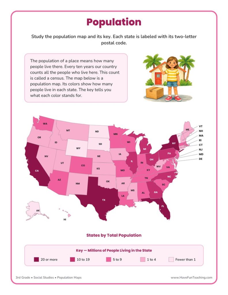
A population map uses color to show how many people live in each part of a place, and learning to read one is a key third grade geography skill. This population map worksheet gives students a colorful map of the fifty states, a clear map key, and a set of questions that ask them to turn colors into real numbers of people. Along the way, children also learn what a census is, why our country counts its people every ten years, and how mapmakers group large numbers into ranges that are easy to compare. Reading a thematic map like this one builds the same skills students use later with weather maps, rainfall maps, and election maps.
This United States population map worksheet is a three-page printable that works beautifully as an introduction, a guided practice page, or a quick review. Page one holds the full-color population map, a short explanation of population and the census, and a key that breaks the states into five groups, from fewer than one million people to twenty million or more. Every state is labeled with its two-letter postal code, so students also practice a second map skill while they work. Page two asks students to read the key, count states in a group, compare two states, choose the best answer in fill-in-the-bubble items, and write an explanation in their own words. Page three is the complete answer key.
What’s Included
- 1 print-ready PDF worksheet
- Answer key
- A full-color United States population map with a five-group map key
- 8 questions: 4 short-answer map-key items, 3 fill-in-the-bubble items, and 1 written explanation
There are three big reasons this population map worksheet helps children learn. First, it moves students from simply looking at a map to actually using one, because every question sends them back to the key to find an answer. Second, it makes large numbers meaningful. Comparing a state with fewer than one million people to a state with twenty million or more gives children a real-world picture of place value and size. Third, the final writing prompt asks students to explain their thinking, which turns a quiet map-reading task into evidence-based reasoning that teachers can quickly assess.
Teachers and parents can stretch this activity in fun ways. Ask students to find their own state on the map and tell which color group it belongs to, then find a neighboring state and compare. Hand out sticky notes and let children build a class bar graph showing how many states fall in each population group. Challenge older students to look up the population of their town and decide where it would sit on a similar map of their state. Families can pull out a road atlas or a globe and trace a trip from a lightly populated state to a heavily populated one, talking about why cities, jobs, and rivers draw people to certain places.
Related Resources
What teachers say
Reviews
You must be logged in to post a review.
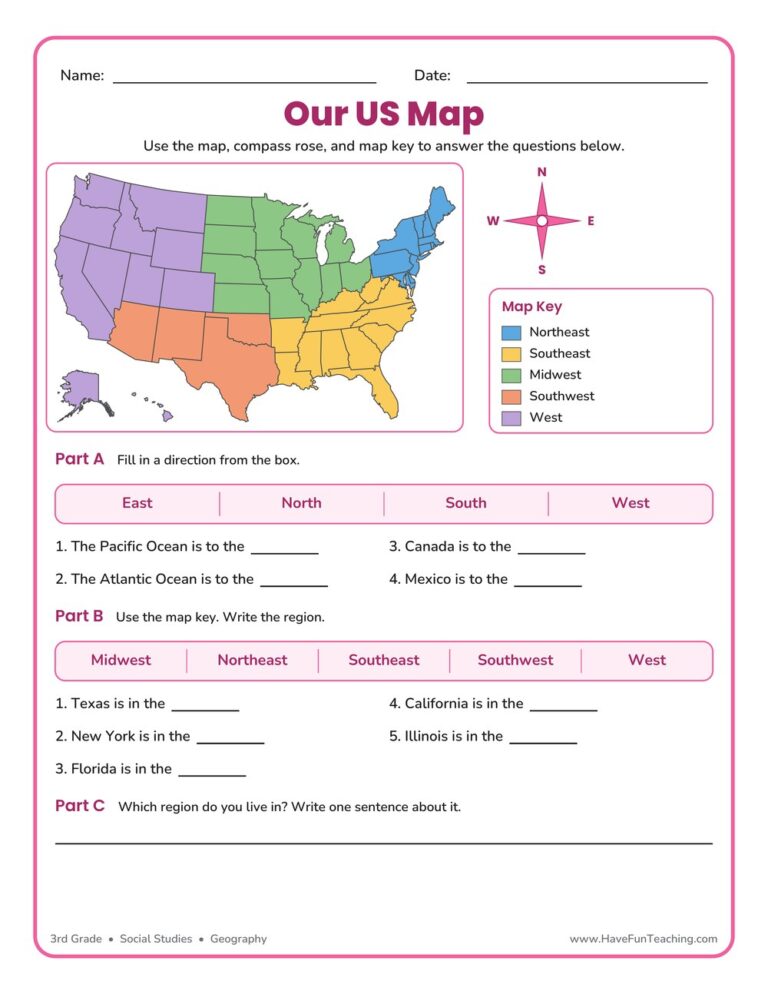
This US Map Worksheet helps 3rd grade students name the five regions of the United States, use a compass rose, and read a map key. An answer key is included, making map skills easy and fun to practice.

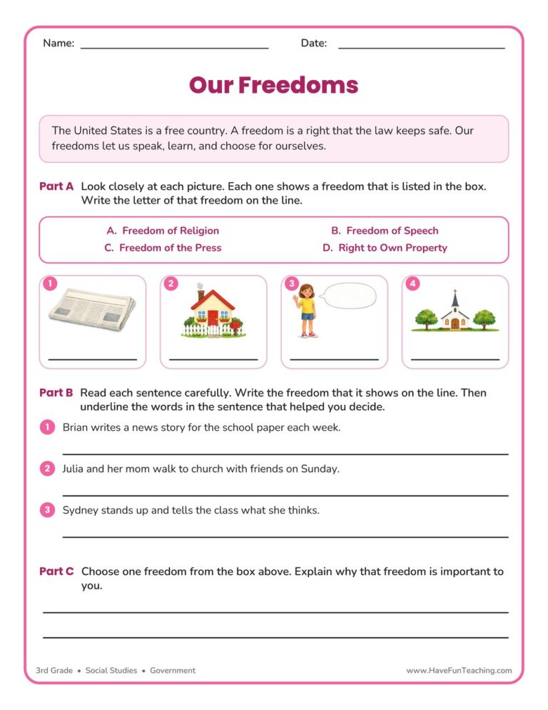
This Our Freedoms Worksheet helps 3rd Grade students name four freedoms, spot each one in everyday situations, and explain why one matters to them. An answer key is included for fast checking.
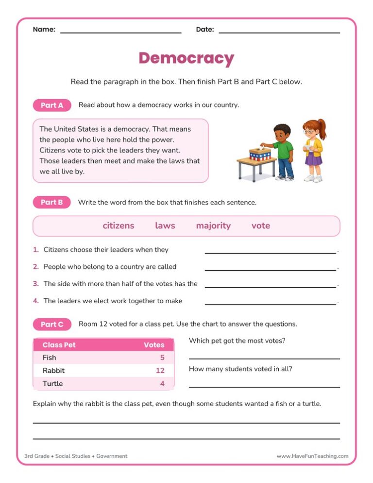
This democracy worksheet helps 3rd graders learn how citizens vote, what a majority is, and how elected leaders make the laws. Answer key included, so students can finish a full civics page with no prep.

This Mayflower Compact worksheet gives 3rd graders a short passage about the 1620 voyage and the promise the men signed at Cape Cod, plus four questions and a writing prompt. An answer key is included.
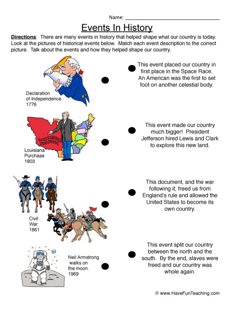
This Events in US History Worksheet has 3rd graders match five landmark American events to their descriptions, place them on a timeline, and explain why one mattered. Answer key included for fast, no-prep social studies practice.

This People in US History Worksheet asks 3rd graders to match five famous Americans to their contributions and then explain one in writing. Answer key included for quick, no-prep social studies practice.
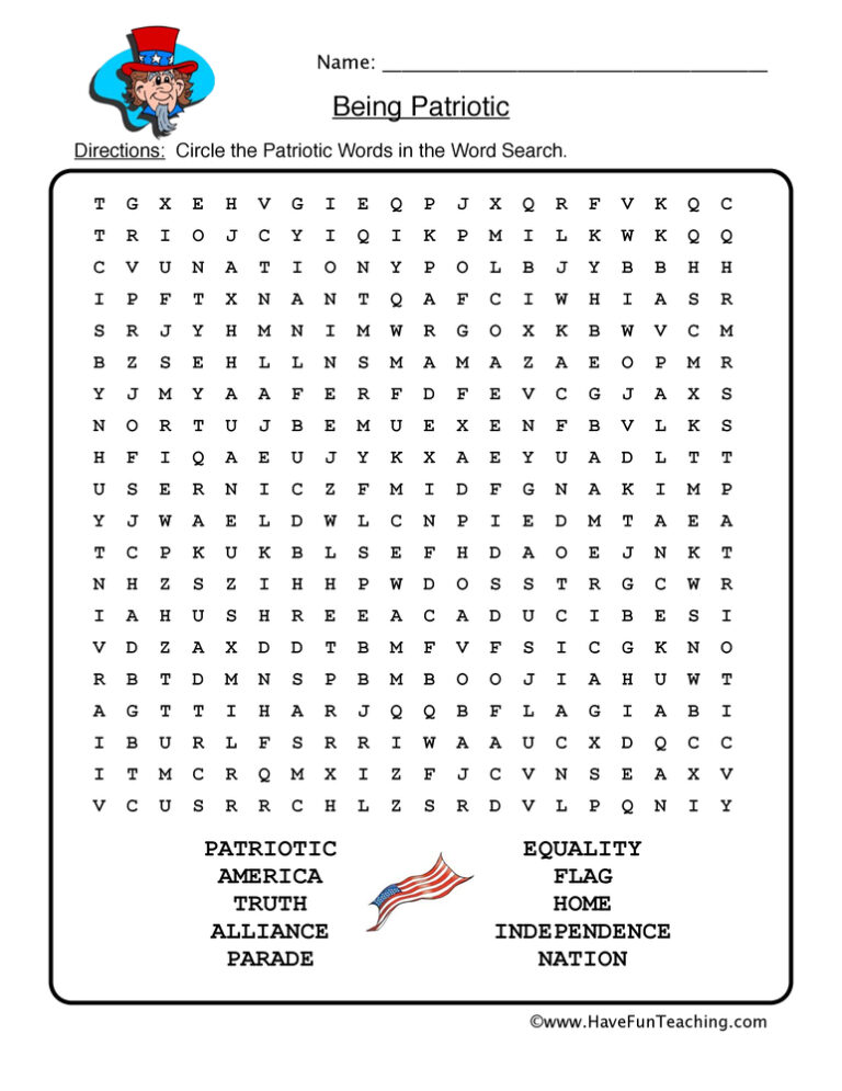
The Patriotic Word Search Worksheet gives 3rd graders six American symbol words to find in a letter grid, then six meaning clues to complete. Answer key included for quick no-prep practice.
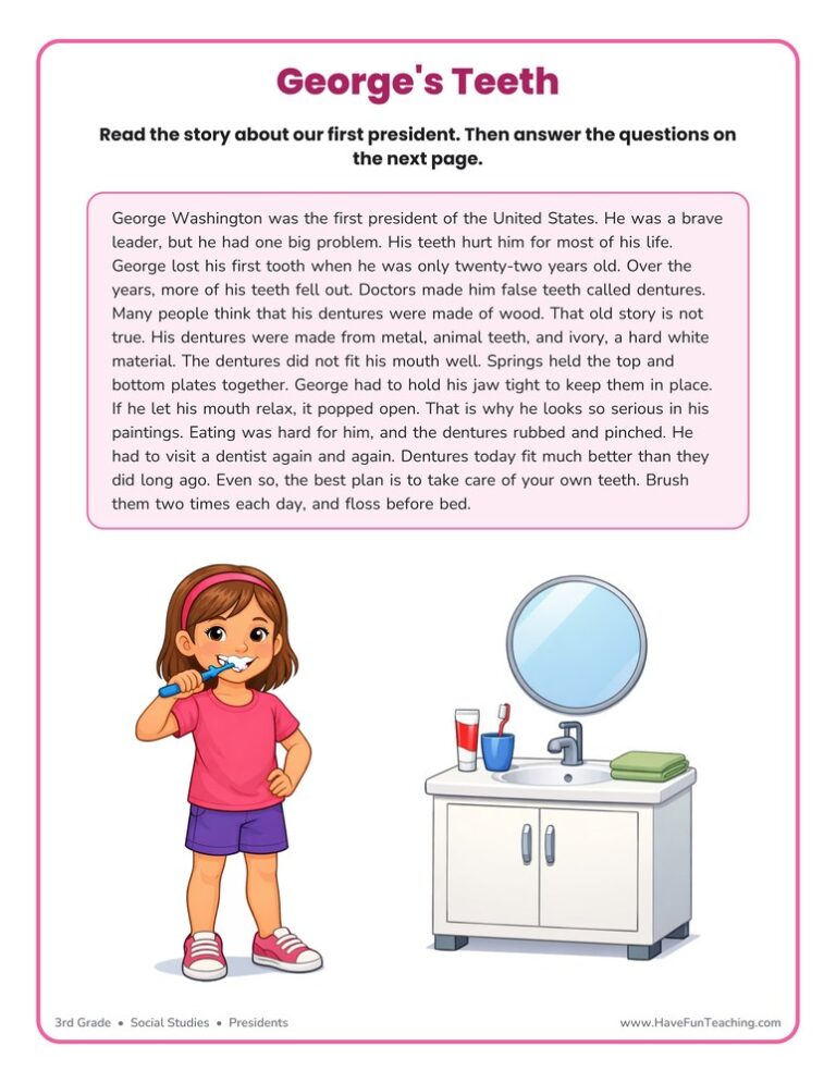
This George Washington Story Worksheet gives 3rd graders a true, kid-friendly passage about our first president plus six questions. A full answer key is included, so social studies reading practice takes no prep at all.

This American Industrial Revolution Worksheet gives 3rd grade readers a short true passage about Samuel Slater's mill, four questions, a written response and an answer key, so main idea practice feels like real history.

This Colonial America worksheet gives 3rd graders a short passage about Jamestown, the thirteen colonies, and colonial work, plus four questions and a writing prompt. An answer key is included.
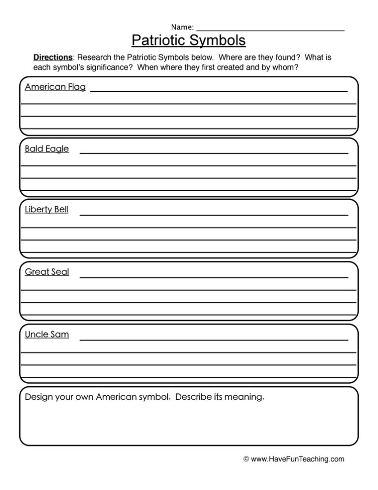
This patriotic symbols worksheet teaches 3rd grade students about the flag, bald eagle, Liberty Bell, Great Seal, and Uncle Sam, with an answer key included to build civic pride.
Reviews
There are no reviews yet