3 days free
Ready for the whole library?
You’ve had your freebie — but members download 10,000+ resources for every grade, all year long. Try it free — $0 today, cancel anytime.
Free for teachers
Pick your grade. We’ll send 10 free resources.
Worksheets, activities and a video — picked for your classroom, ready to print tonight.
One free bundle per teacher. We’ll also send free teaching ideas each week — unsubscribe anytime.


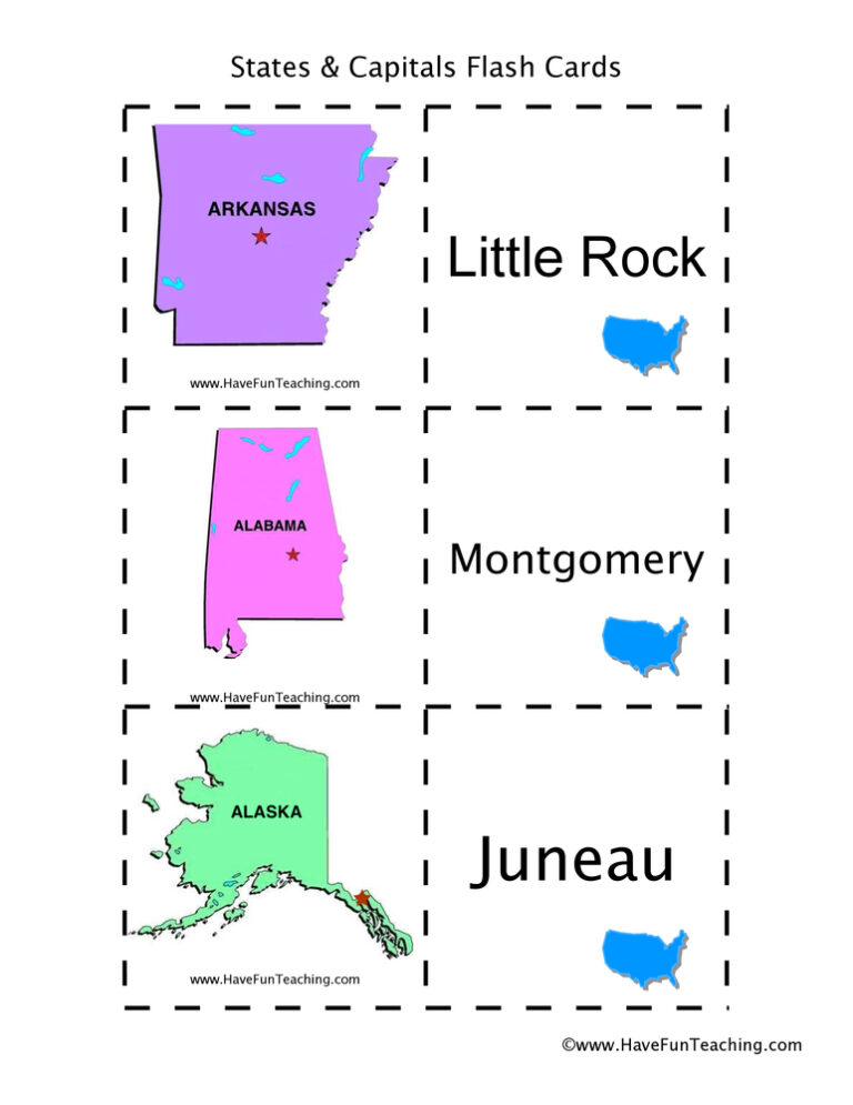
Using US States and Capitals Flash Cards, students memorize US State capitals by looking at a picture of the state.

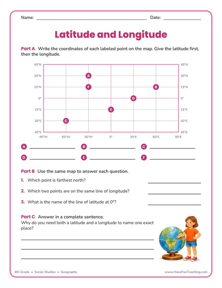
This using latitude and longitude worksheet has 5th grade students read coordinates from a grid map, plot two new points, and explain the Equator. Answer key included for quick checking.
UsingUS State Capitals Pictures Flash Cards, students memorize US State capitals by looking at a picture of the state.

Using Color Me Curious Research Writing Activity, students participate in shared research and writing projects to learn about any topic.
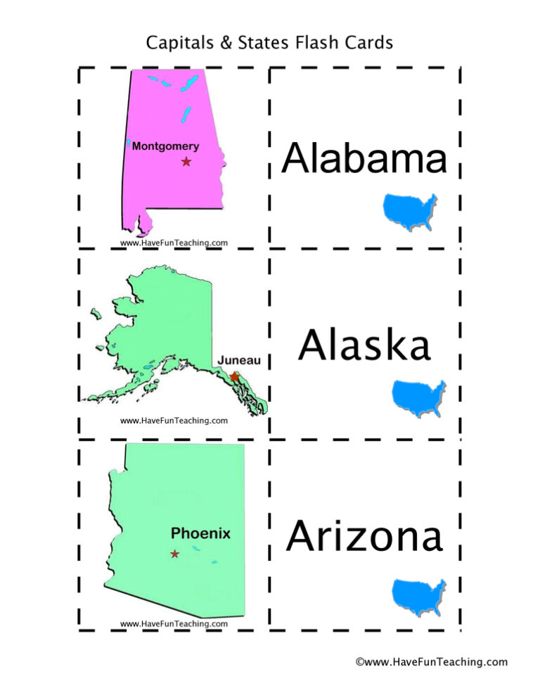
Using US States and Capitals Picture Flash Cards, students memorize US State capitals by looking at a picture of the state.