
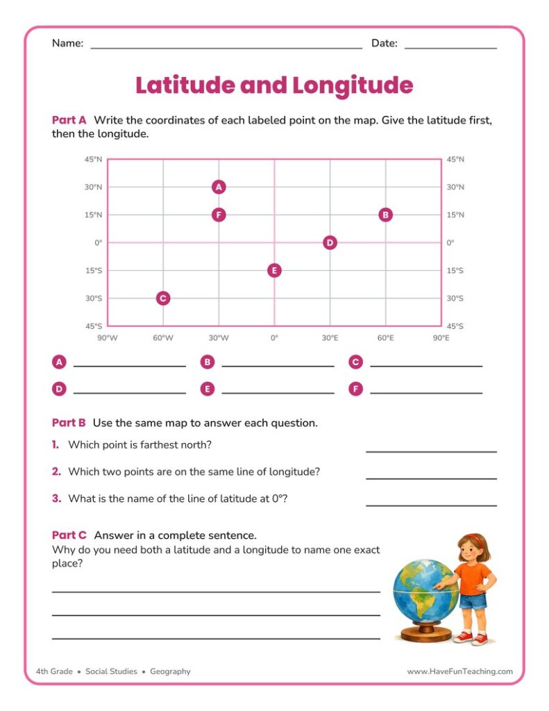
Using Latitude and Longitude Worksheet
This using latitude and longitude worksheet has 5th grade students read coordinates from a grid map, plot two new points, and explain the Equator. Answer key included for quick checking.
$6.97
Or free with a membership — members pay $3.33/mo for all 10,000+ resources. See plans
Want this one free?
Tell us where to send it and it’s yours — no card, no catch.
One free resource per teacher. We’ll also send free teaching ideas each week — unsubscribe anytime.
Teaching is easier with a membership
Unlimited printables, games & videos for PreK–6th — for your classroom or homeschool. Cancel anytime.
Start your 3-day free trial$0 today · cancel anytime · Instant access to 10,000+ resources
About this resource
Description
The using latitude and longitude worksheet turns the geographic coordinate system into something fifth graders can actually do rather than just read about. Lines of latitude run east and west and measure how far north or south a place sits from the Equator. Lines of longitude run north and south between the poles and measure how far east or west a place sits from the Prime Meridian. Together the two sets of lines form a grid, and every point on Earth has one address on that grid. Once students can read that address, a globe, an atlas, and a digital map all start to make sense.
This printable gives students a clean coordinate grid marked in ten degree steps with five shapes placed exactly on intersections. In Part A they write the latitude and longitude of each shape in coordinate order. In Part B they reverse the skill and plot two new marks on the map from coordinates they are given. Part C asks them to explain the Equator and to reason about why latitude alone can never pinpoint a place. Print it single sided and use it as guided practice, an exit ticket, or homework after a mapping lesson. The answer key is the last page.
What’s Included
- One printable worksheet page plus a full answer key page
- A labeled coordinate grid map from 10°N to 50°N and 10°W to 60°W
- Part A: read and record five sets of coordinates
- Part B: plot two new points on the map from given coordinates
- Part C: two short written responses about the Equator and coordinates
Three Reasons This Helps Kids
- It practices the skill in both directions. Reading a coordinate and plotting a coordinate are different jobs, and students who do both stop mixing up the two numbers.
- It builds precision. Writing the latitude first and adding the correct N or W trains the habit real maps and navigation depend on.
- It asks for reasoning, not recall. Explaining why one coordinate is not enough shows whether a student truly understands the grid.
Ideas for Teachers and Parents
Follow this 5th grade geography worksheet with a globe: call out a coordinate pair and let students race to find the nearest country. Ask each student to look up the coordinates of their own town and add it to a class map. Challenge early finishers to write a coordinate riddle for a partner to solve. At home, pull up a paper road atlas or a world map placemat and trace the Equator and the Prime Meridian together before returning to the using latitude and longitude worksheet for a second pass without help.
Related Resources
What teachers say
Reviews
You must be logged in to post a review.
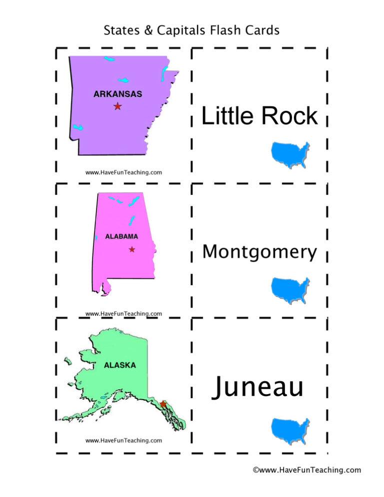
Using US States and Capitals Flash Cards, students memorize US State capitals by looking at a picture of the state.

UsingUS State Capitals Pictures Flash Cards, students memorize US State capitals by looking at a picture of the state.

Using Color Me Curious Research Writing Activity, students participate in shared research and writing projects to learn about any topic.
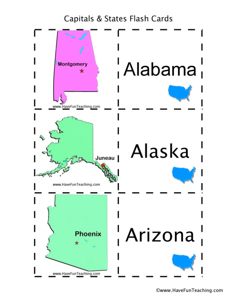
Using US States and Capitals Picture Flash Cards, students memorize US State capitals by looking at a picture of the state.
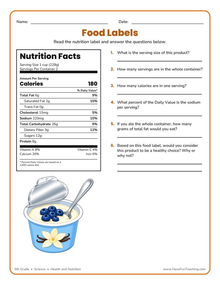
A 5th grade reading food labels worksheet where students study a real Nutrition Facts panel to find serving size, calories, and daily values. Includes a complete answer key for fast, no-prep nutrition practice.
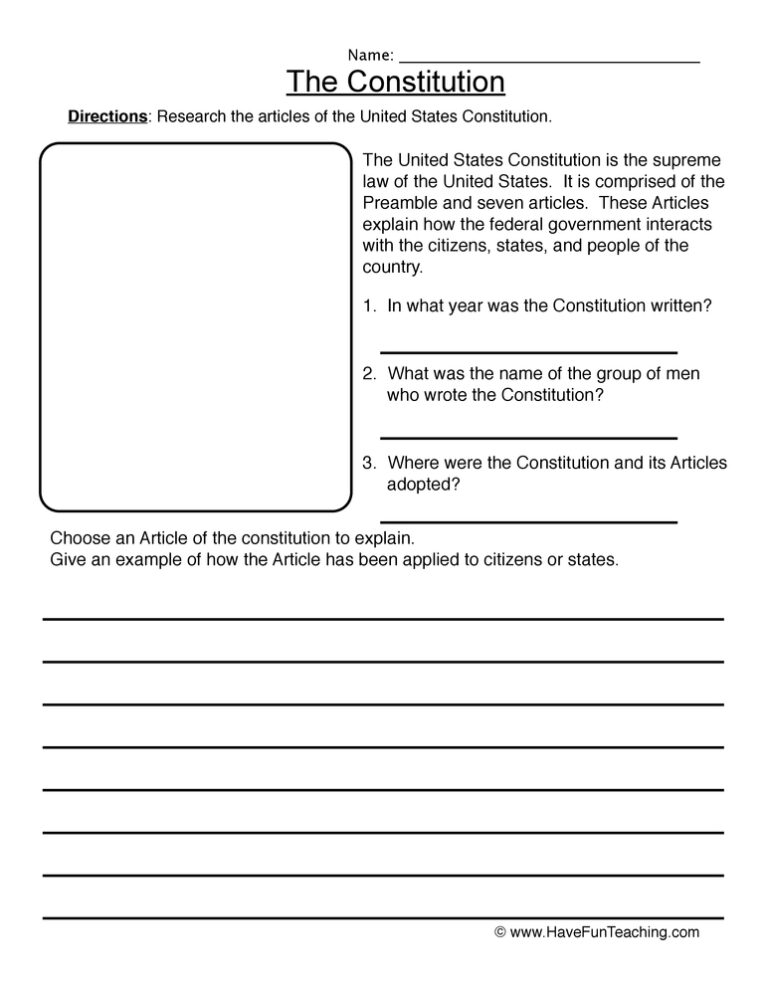
This Constitution Worksheet gives 5th grade students word bank, matching, and short answer practice on the Preamble, the Framers, amendments, and the three branches of government. Answer key included for fast, no-prep civics review.
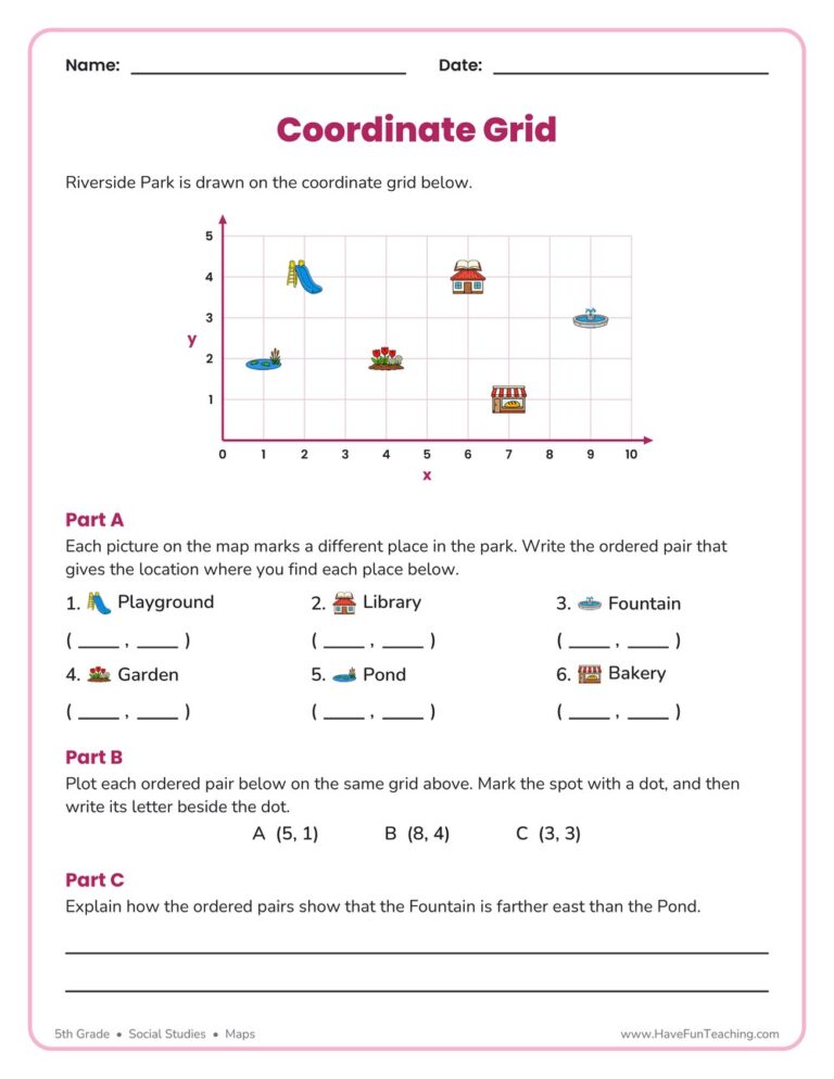
This Coordinate Grid Map Location Worksheet has 5th graders name, plot, and compare places on a park map using ordered pairs. An answer key is included, so grid map skills get real practice with no prep.
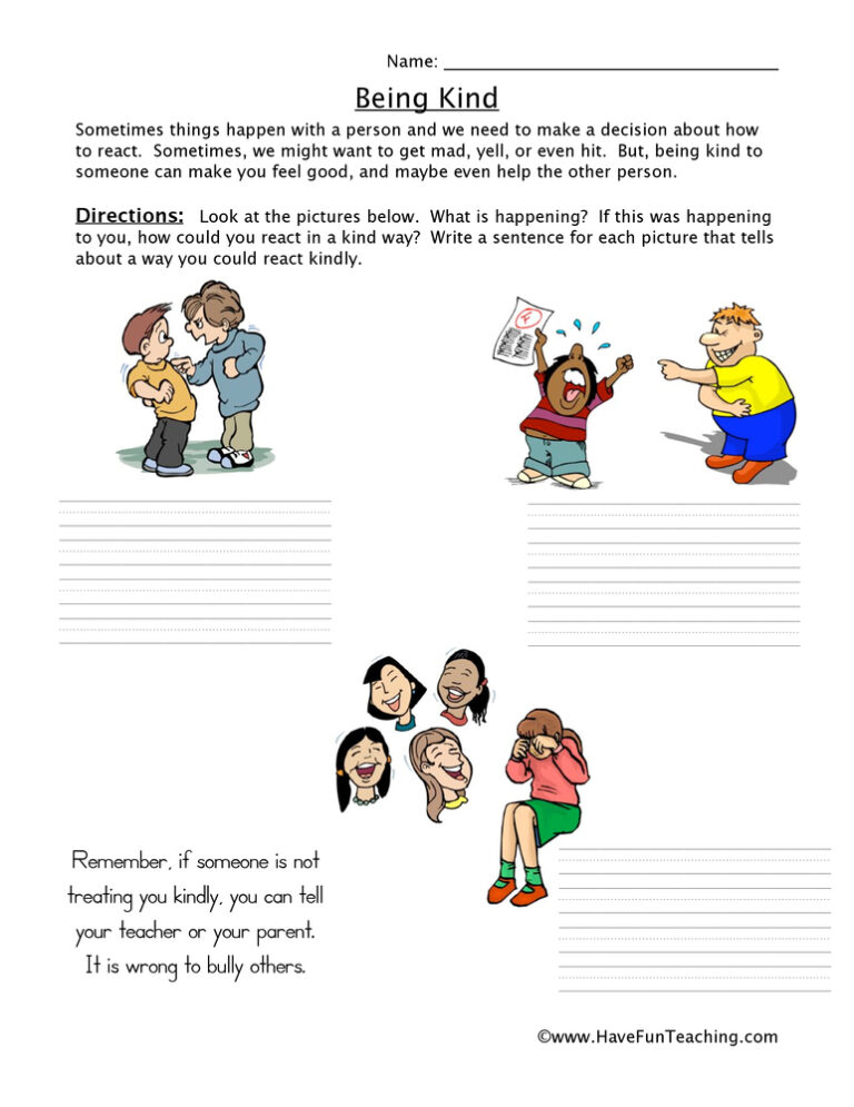
Using this Bullying Worksheet, students write a description explaining how the person could have reacted in a kind way rather than a mean way.
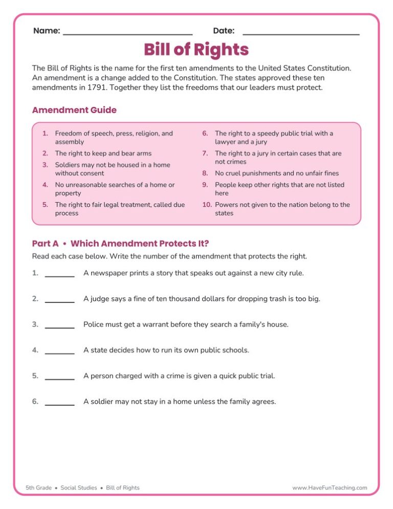
This Bill of Rights Worksheet gives 5th graders a plain-language Amendment Guide, then asks them to match real situations to the right amendment. Answer key included for fast, no-prep civics practice.

The Community Song teaches kids how to be a good citizen in the community. This is a fun citizenship song that teaches kids about being a citizen and being part of their community.
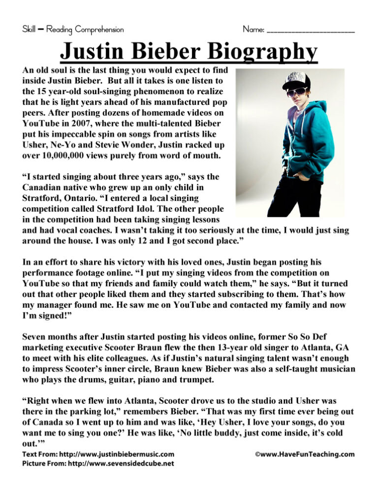
This Justin Bieber Biography Reading Comprehension Worksheet will help your students build their reading comprehension skills while reading a biography about Justin Bieber.

Reviews
There are no reviews yet