

Map Scales Worksheet
This Map Scales Worksheet gives 4th grade students a trail map with a printed bar scale, four measuring questions, and two written-scale word problems. An answer key is included, so map skills practice is ready to hand out.
$6.97
Want this one free?
Tell us where to send it and it’s yours — no card, no catch.
One free resource per teacher. We’ll also send free teaching ideas each week — unsubscribe anytime.
Free teacher account · no credit card
Membership
Get every game, song, & printable
- Every game, on any device
- 10,000+ printables
- Assign online with HFT Classroom
Then $39.97/year · cancel anytime · See plans
- Instant digital download
- Printable PDF + answer key
- Made by real teachers
Teacher / Family membership
Teaching is easier with every resource
One membership for your whole year: 10,000+ worksheets, games, songs and videos for Preschool–6th, for your classroom or homeschool.
- Unlimited printables & downloads
- Every game, on any device
- Assign online with HFT Classroom
- Cancel anytime
Teacher / Family membership · 3 days free
Yearly
Monthly would be $119.64 a year
$3.33/month
Billed $39.97 once a year
You save $79.67 every year
Start My 3 Free Days$0 today · cancel anytime
Monthly
$9.97/month
Flexible, month to month
Yearly is just $3.33/mo. Switch and save $79.67
Start My 3 Free Days$0 today · cancel anytime
About this resource
Description
This Map Scales Worksheet teaches one of the most useful map skills a fourth grader can own: turning a distance on paper into a distance in the real world. Every map shrinks a place down to fit a page, and the scale is the key that tells a reader by how much. Students who can read a scale can plan a route, compare two trips, and judge whether an answer is reasonable — and the skill carries straight into measurement and proportional reasoning in math class.
The worksheet opens with a trail map of a park. Five places are marked — the Visitor Center, the Lake, the Campground, the Lookout, and the Museum — and a graphic bar scale is printed right on the map, divided into single miles. In Part A students lay the bar scale against a trail to find how far it runs, add two legs of a hike together, and compare two trails to see how much longer one is. Part B moves to written scales instead of a bar: one inch standing for twenty miles, and one centimeter standing for five kilometers. Use it after a lesson on map parts, as an independent practice page, or as a quick check before a geography unit test.
What’s Included
- A full-colour trail map with five labeled locations, a compass rose, and a graphic bar scale in miles
- Four Part A questions: two direct scale readings, one two-leg addition problem, and one comparison problem
- Two Part B word problems that use a written scale in miles and in kilometers
- A complete answer key
- A print-ready PDF sized for standard letter paper
Three reasons this resource helps kids learn this skill. First, the bar scale is printed on the map itself, so a student measures rather than guesses, and the map is drawn so that every trail is a whole number of miles — the answer is checkable, not approximate. Second, the questions build in order: read one trail, then add two, then compare two, so a student who can do the first can reach the last. Third, Part B swaps the bar for a written scale and swaps miles for kilometers, which is what forces the idea to generalize instead of staying a trick that works on one picture.
Ideas for teachers and parents. Before students start, ask them to put a finger on the bar scale and say aloud how far one mile is on this page. Have partners invent a new question for the same map and trade papers to check. Pair this 4th grade geography worksheet with a lesson on map keys and compass directions so the whole map legend gets covered. At home, pull up a paper road map or an atlas and find the scale together, then estimate the drive to a favorite place. For an extension, ask students to draw their own school or neighborhood map and invent a scale for it. Every Map Scales Worksheet answer is on the key, so checking takes a moment.
Related Resources
What teachers say
Reviews
You must be logged in to post a review.
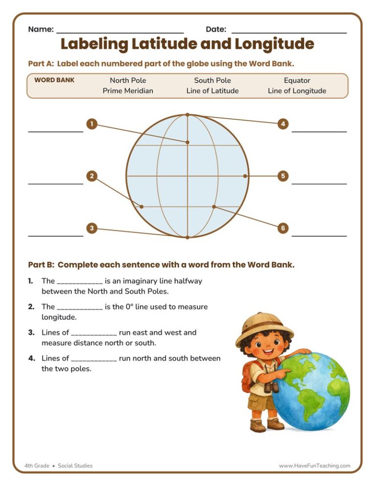
This Labeling Latitude and Longitude Worksheet lets 4th graders label a globe’s equator, prime meridian, poles, and grid lines, then explain each one. Answer key included for fast, no-prep geography practice.
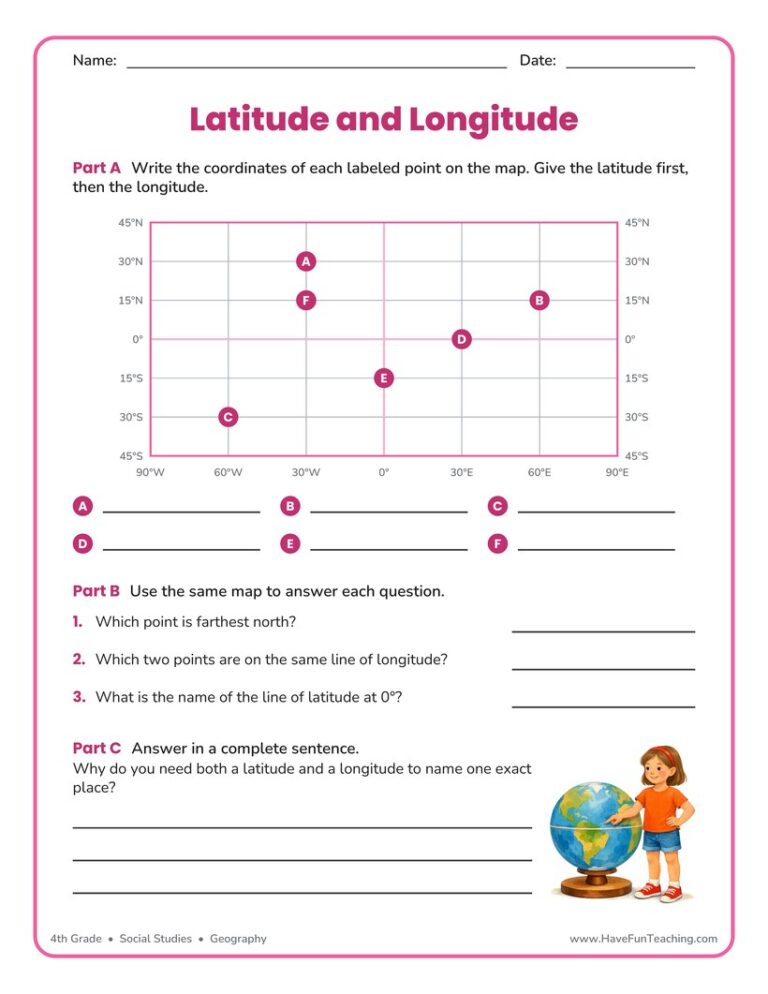
This latitude and longitude worksheet asks 4th grade students to read six points off a labeled map grid, compare them, and explain why both measurements are needed. An answer key is included for fast checking.
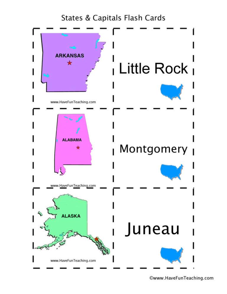
Using US States and Capitals Flash Cards, students memorize US State capitals by looking at a picture of the state.

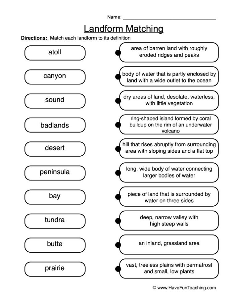
A landform definitions worksheet where 4th graders match six landforms to their meanings, complete clue sentences, and explain their thinking in writing. Answer key included for fast, no-prep geography review.
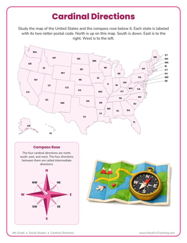
This cardinal directions worksheet gives 4th graders a labeled U.S. map and a compass rose to practice north, south, east, and west. Answer key included for fast, no-prep geography review.
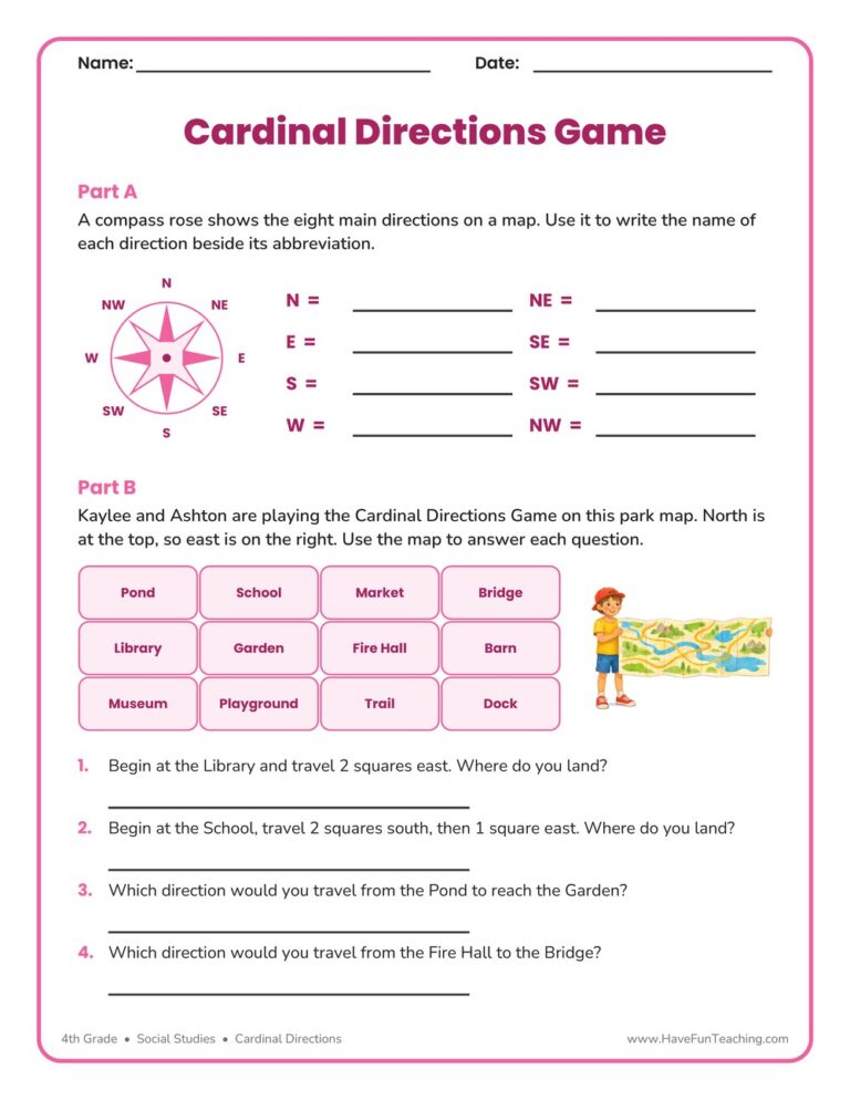
This cardinal directions game worksheet asks 4th graders to name all eight compass points, then walk a park map square by square. An answer key is included, so checking map skills takes only a minute.

This Map Legends Worksheet asks 4th grade students to read a campground map using only its legend and a compass rose, with six questions and a full answer key for quick checking.

This continents map worksheet gives 4th grade students an unlabelled world map with seven numbered markers, five clue questions and a hemisphere question. Answer key included.
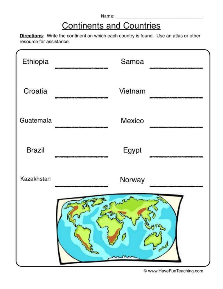
This continents worksheet has 4th Grade students label seven continents on a world map, then name the continent for ten countries. An answer key is included.
UsingUS State Capitals Pictures Flash Cards, students memorize US State capitals by looking at a picture of the state.
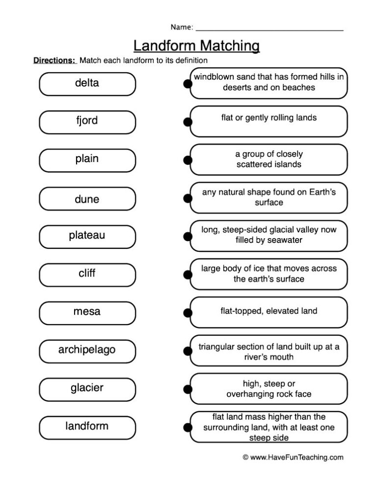
This Landform Matching Definitions Worksheet asks 4th graders to pair six landform words with their meanings, name three pictured landforms, and defend one answer in writing. Answer key included for fast, no-prep geography review.
Reviews
There are no reviews yet