

Texas Worksheet
This Texas worksheet has 4th Grade students research six state facts and name the four states that border Texas on a real map of the region. An answer key is included.
$6.97
Or free with a membership — members pay $3.33/mo for all 10,000+ resources. See plans
Want this one free?
Tell us where to send it and it’s yours — no card, no catch.
One free resource per teacher. We’ll also send free teaching ideas each week — unsubscribe anytime.
Teaching is easier with a membership
Unlimited printables, games & videos for PreK–6th — for your classroom or homeschool. Cancel anytime.
Start your 3-day free trial$0 today · cancel anytime · Instant access to 10,000+ resources
About this resource
Description
This Texas worksheet gives students a clear, organized way to study one state from the ground up. Learning about a state means gathering facts and reading a map, and this Texas worksheet asks students to do both on a single page. Students record six key facts about Texas, then turn to a real map of Texas and its neighbors to name every state that shares a border with it.
The page opens with six labeled fact lines: state bird, state flower, state tree, state nickname, state capital, and year of statehood. Students research each one and write the answer on a generous writing line. Below the facts, a coded map of Texas, New Mexico, Oklahoma, Arkansas, and Louisiana shows Texas shaded in color with a numbered marker sitting inside each bordering state. Students match each number to a numbered line and write the state name. A final direction sends them back to the map to name the two states along Texas’s eastern border, which turns a naming task into a real map-reading task.
What’s Included
- One printable page with six Texas state fact lines
- An accurate map of Texas and its four bordering states
- Numbered markers drawn inside each bordering state
- A map-reading question about Texas’s eastern border
- A complete answer key page
Three Reasons This Helps Kids
- Research and recording become one routine, so students learn where state facts come from instead of memorizing a list.
- The numbered map builds real map skills, because a student has to locate a shape before naming it.
- The eastern-border question adds a direction word, so students practice using compass sense alongside state names.
Teacher and Parent Ideas
- Use this 4th grade states worksheet as the opening day of a state study unit, then repeat it with a neighboring state.
- Pair the fact lines with a classroom atlas or an almanac so students practice locating information in print.
- Have partners compare maps and explain how they decided which states sit along the eastern border.
- Send the page home as a research assignment and let students add one extra fact of their own on the back.
Related Resources
What teachers say
Reviews
You must be logged in to post a review.
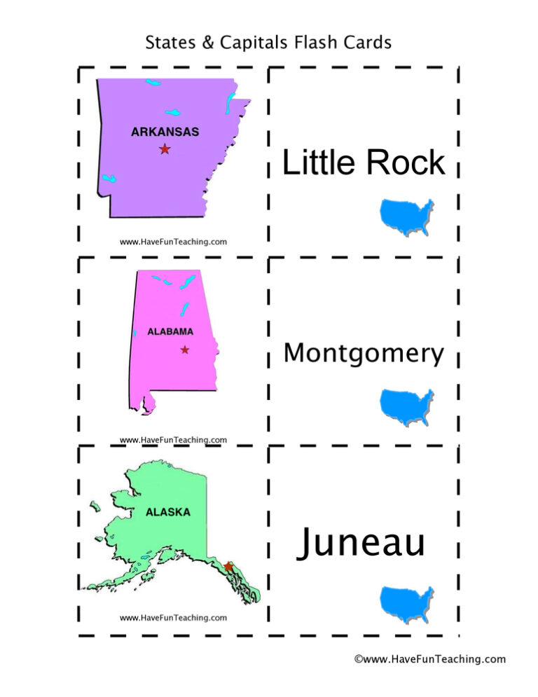
Using US States and Capitals Flash Cards, students memorize US State capitals by looking at a picture of the state.
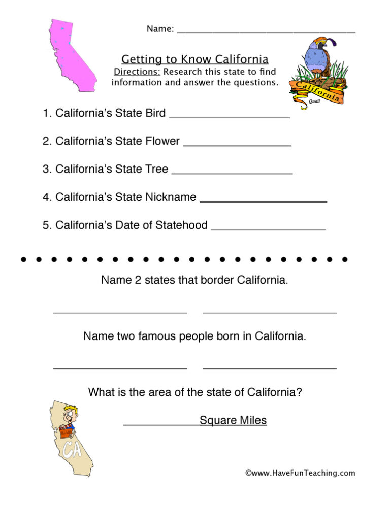
A California worksheet for 4th Grade with a fact file, fill-in-the-blank sentences, multiple-choice reasoning questions, and a short writing prompt. Answer key included, so students can check their own work.


Using US States Black and White Flash Cards, students use pictures to recognize United State shapes to build their US geography.

This Georgia worksheet has 4th Grade students research six state facts and name the five states that border Georgia on a real map of the southeast. An answer key is included.
UsingUS State Capitals Pictures Flash Cards, students memorize US State capitals by looking at a picture of the state.

This Alaska worksheet gives 3rd grade students a short nonfiction passage about Alaska, four multiple-choice questions, a written response and an answer key, so they practice finding evidence in a text.

Using US States and Capitals State Shape Flash Cards, students memorize US State capitals by looking at a picture of the state shape.

Using US States Color Flash Cards, students use pictures to recognize United State shapes to build their US geography.
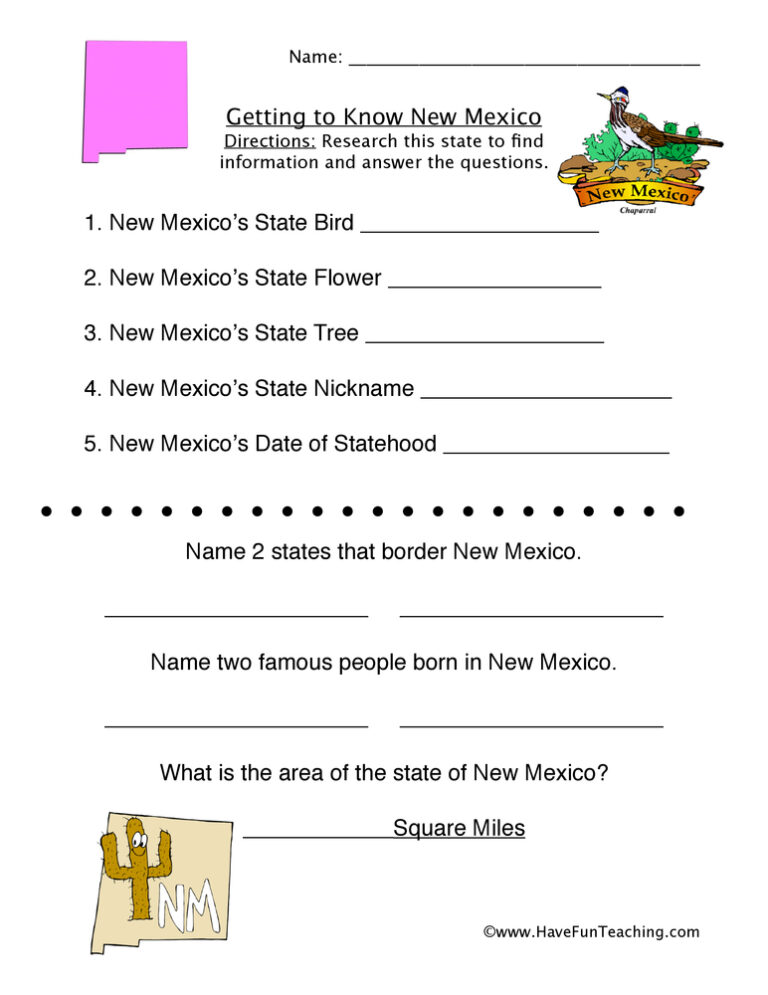
This New Mexico Worksheet will help your students organize and direct their research related to the state of New Mexico.

Using Color Me Curious Research Writing Activity, students participate in shared research and writing projects to learn about any topic.
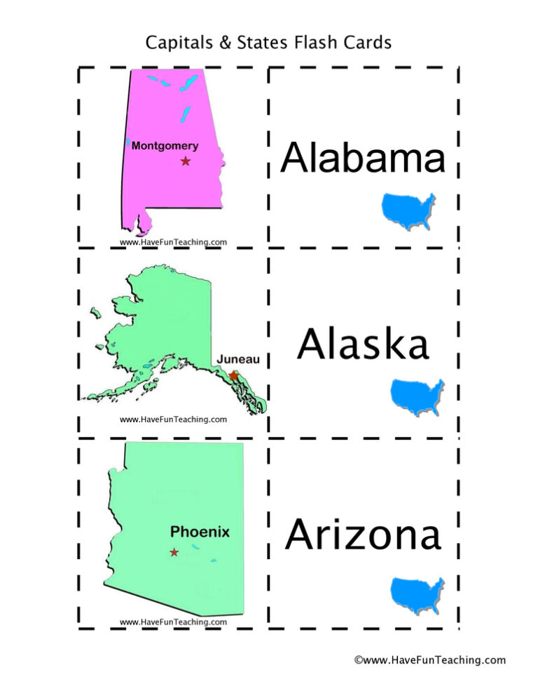
Using US States and Capitals Picture Flash Cards, students memorize US State capitals by looking at a picture of the state.
Reviews
There are no reviews yet