

US States Color Flash Cards
These US states color flash cards help 1st to 5th Grade students learn all 50 state shapes and regions, with an answer key included.
$6.97
Want this one free?
Tell us where to send it and it’s yours — no card, no catch.
One free resource per teacher. We’ll also send free teaching ideas each week — unsubscribe anytime.
Free teacher account · no credit card
Membership
Get every game, song, & printable
- Every game, on any device
- 6,500+ resources
- Assign online with HFT Classroom
Then $39.97/year · cancel anytime · See plans
- Instant digital download
- Printable PDF + answer key
- Made by real teachers
Teacher / Family membership
Teaching is easier with every resource
One membership for your whole year: 6,500+ worksheets, games, songs and videos for Preschool–6th, for your classroom or homeschool.
- Unlimited printables & downloads
- Every game, on any device
- Assign online with HFT Classroom
- Cancel anytime
Teacher / Family membership · 3 days free
Yearly
Monthly would be $119.64 a year
$3.33/month
Billed $39.97 once a year
You save $79.67 every year
Start My 3 Free Days$0 today · cancel anytime
Monthly
$9.97/month
Flexible, month to month
Yearly is just $3.33/mo. Switch and save $79.67
Start My 3 Free Days$0 today · cancel anytime
About this resource
Description
These US states color flash cards help students learn all 50 state shapes and the region each state belongs to. Knowing the states and regions gives students a strong base for US geography, history and current events.
About the Flash Cards
Each fold-over card shows a large state shape on the front, filled with its region color: West, Southwest, Midwest, Southeast or Northeast. Inside, students find the state name, its region and its postal code, so they can check themselves. Print the cards one-sided, fold each sheet on the center line, and cut on the dashed lines. The color coding helps students see that states in the same part of the country belong together, and it makes sorting the cards by region quick and fun. Because every state is drawn from real map data, the shapes match what students see on a globe or atlas. The answer key lists each state in order with its region, so checking a full set takes only a minute.
What’s Included
- A How to Use page with simple steps
- 50 fold-over state cards (colored state shape front, name and region inside)
- An answer key listing every state with its region
Why It Helps Kids
- Large, accurate state shapes make each state easy to recognize.
- Region colors connect each state to its part of the country.
- Self-checking cards let students practice on their own or with a partner.
Ideas for Teachers and Parents
Use these 1st grade states flash cards for a quick daily review, a geography center, or a game of state memory. Students can sort the cards into the five regions, then find each state on a map of the United States. The US states color flash cards also make a bright display for a classroom geography wall.
Related Resources
What teachers say
Reviews
Write a review, earn store credit
Get 25¢ in credit for every approved review of a resource you’ve downloaded, played or purchased — up to 15 a month. Credit applies automatically to your membership payments, so your reviews can help pay for your membership.
Honest reviews only — any star rating earns the same. Program rules
Log in to write a review and earn store credit.


These US states black and white flash cards help 1st to 5th grade students name all 50 states by their shapes, with easy fold-over cards and an answer key included.

This Indiana word search worksheet asks 3rd graders to find six state words in the grid, then match each one to its meaning. An answer key is included for quick, no-prep state study.

Using 50 States Research Activity, studentsparticipate in shared research and writing projects to learn about the 50 states.

Using the Knows the 50 States Reward Certificate for Boys, your student will feel celebrated and recognized for being able to know all 50 States.

Using the Knows the 50 States Reward Certificate for Girls, your student will feel celebrated and recognized for being able to know all 50 States.

The Labeling Continents Worksheet is a 1st grade geography activity where students use a word bank to label the seven continents on a colorful world map. A complete answer key is included for fast, no-prep practice at home or school.
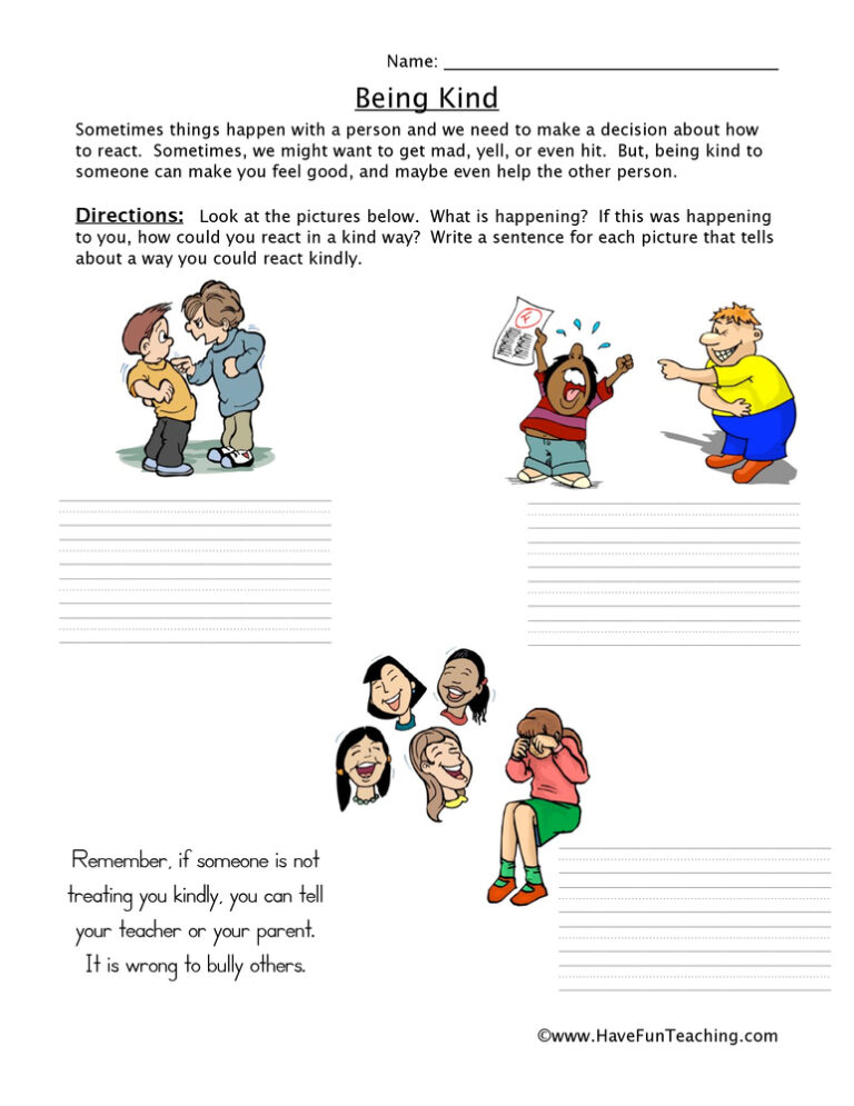
Using this Bullying Worksheet, students write a description explaining how the person could have reacted in a kind way rather than a mean way.
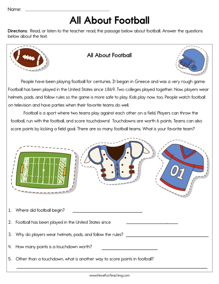
Build 1st Grade reading skills with the All About Football Worksheet, a short informational passage plus five bubble questions and word-box sentences. An answer key is included, so comprehension practice is ready to print.
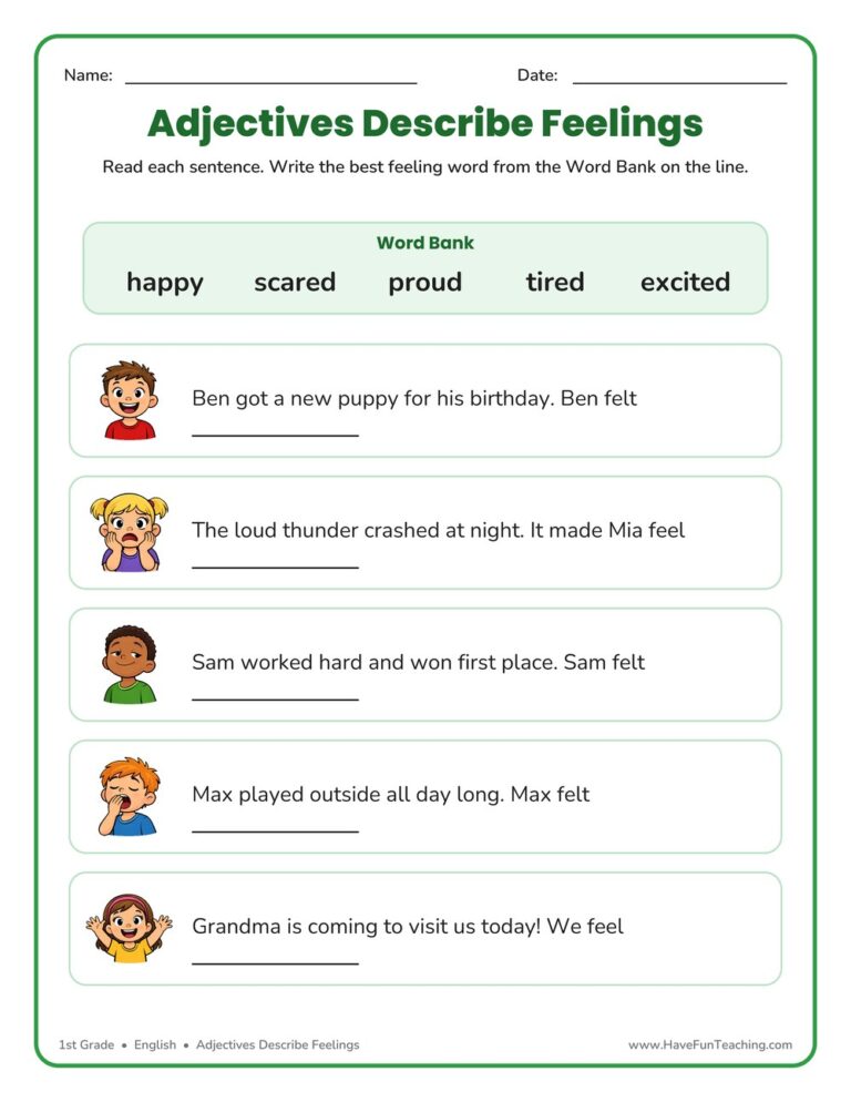
This adjectives describe feelings worksheet helps 1st graders match feeling words like happy, proud, and excited to picture-based sentences. Includes an answer key for easy checking—a fun, no-prep way to build emotion vocabulary.
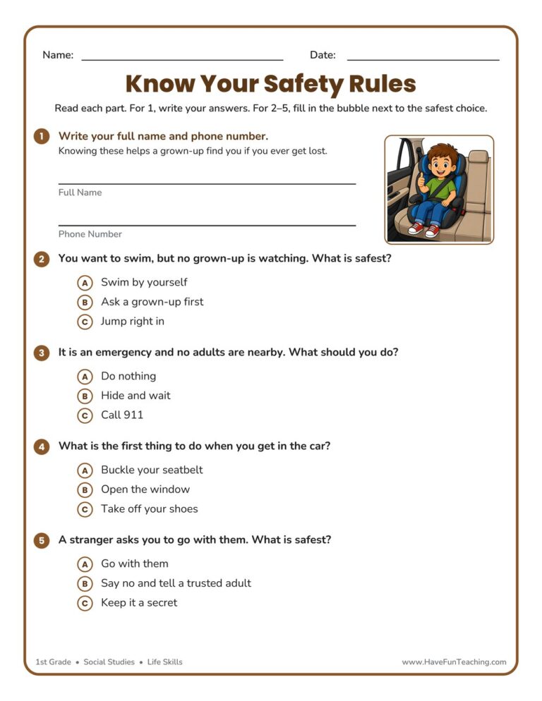
The Know Your Safety Rules Worksheet helps 1st graders make smart choices for swimming, emergencies, car rides, and strangers. Answer key included—a no-prep way to build real-life safety confidence.
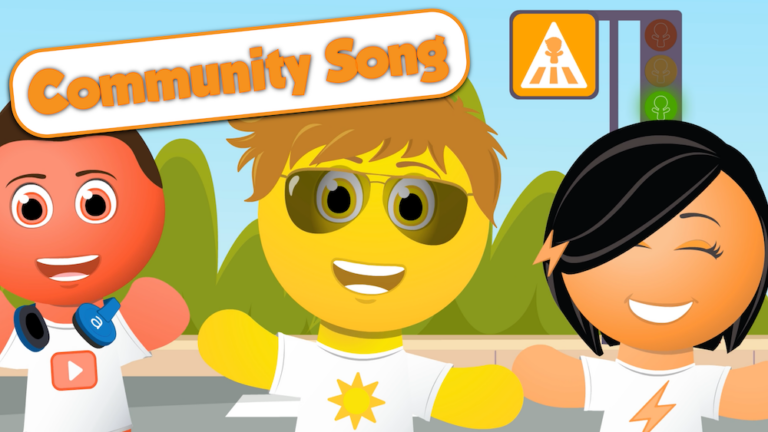
The Community Song teaches kids how to be a good citizen in the community. This is a fun citizenship song that teaches kids about being a citizen and being part of their community.
Reviews
There are no reviews yet