

Pirate Map Skills Worksheet
This pirate map skills worksheet sends 4th graders across a treasure island using a compass rose and a bar scale. Four map questions plus two route puzzles, with a full answer key included.
$6.97
Or free with a membership — members pay $3.33/mo for all 10,000+ resources. See plans
Want this one free?
Tell us where to send it and it’s yours — no card, no catch.
One free resource per teacher. We’ll also send free teaching ideas each week — unsubscribe anytime.
Teaching is easier with a membership
Unlimited printables, games & videos for PreK–6th — for your classroom or homeschool. Cancel anytime.
Start your 3-day free trial$0 today · cancel anytime · Instant access to 10,000+ resources
About this resource
Description
Reading a map is a skill children use long before they ever open an atlas, and this pirate map skills worksheet turns that skill into a treasure hunt. Students study a map of a small island with five marked places, a compass rose, and a printed bar scale that runs from zero to four miles. Every question sends them back to the map: how long a trail is, which direction a hiker walks, how far a whole journey covers, and which place a set of steps leads to. Nothing has to be guessed and nothing has to be looked up, because the map itself holds every answer.
This 4th grade map skills worksheet is ready to print and hand out. Page one holds the island map, four questions in Part A, and two route puzzles in Part B; page two is the complete answer key. Students begin by laying the bar scale against a trail to count the miles, then use the compass rose to name a direction. In Part B they start at a named place, follow two moves across the island, and write the name of the place they land on. Every trail on the map is a whole number of miles, so a careful reader and the answer key always agree.
What’s Included
- 1 print-ready PDF worksheet
- Answer key
- 1 island map with a compass rose and a bar scale, 4 map questions, and 2 two-step route puzzles
This pirate map skills worksheet helps children in three ways. First, it makes a map scale concrete, because measuring a trail is the only way to answer the distance questions. Second, it puts cardinal directions to work instead of just naming them, so north, south, east, and west become instructions rather than vocabulary. Third, the two route puzzles are multi-step problems: a student has to hold a starting point in mind, apply two moves in order, and then read the result off the map, which is exactly the kind of thinking a fourth grader needs for longer problems in any subject.
Teachers and parents can carry the idea further without much setup. Ask students to write two new questions about the same island and trade them with a partner. Have them measure a new route with a ruler and check it against the bar scale. Hide a small object in the classroom or the backyard and write directions to it using only distances and cardinal directions. Older students can draw their own island, place five landmarks on a grid, invent a scale, and make an answer key for a classmate to solve.
Related Resources
What teachers say
Reviews
You must be logged in to post a review.
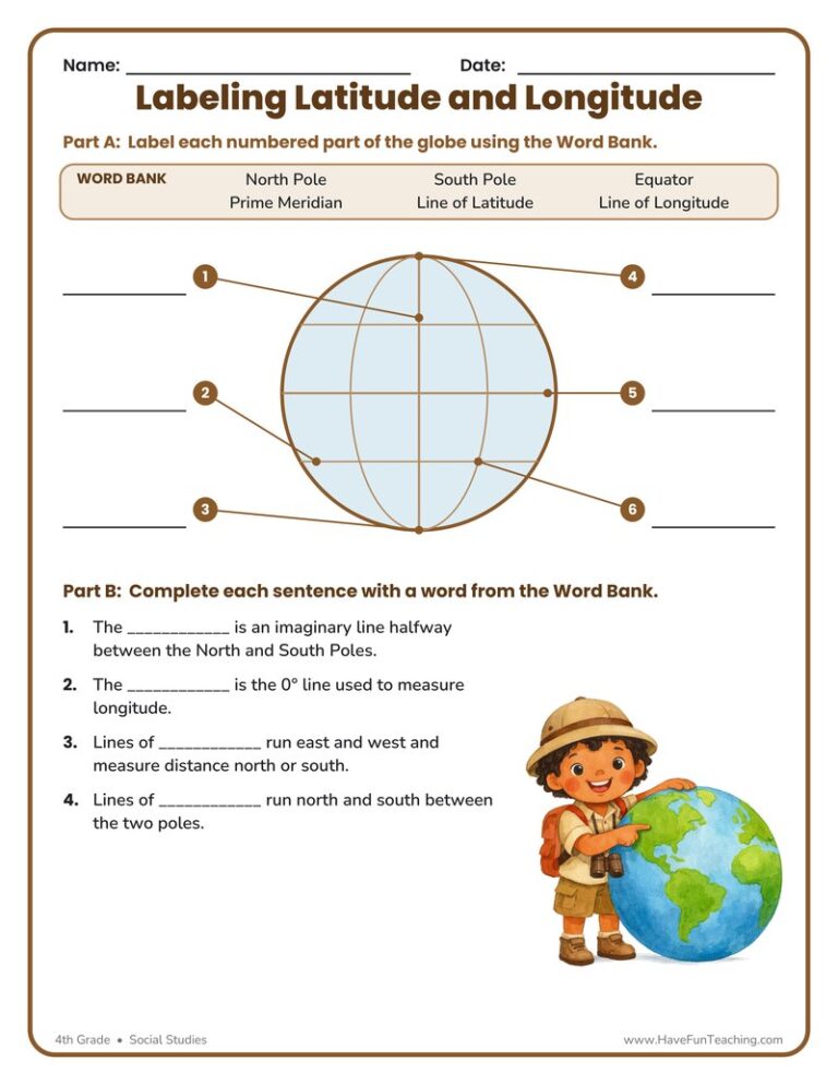
This Labeling Latitude and Longitude Worksheet lets 4th graders label a globe’s equator, prime meridian, poles, and grid lines, then explain each one. Answer key included for fast, no-prep geography practice.
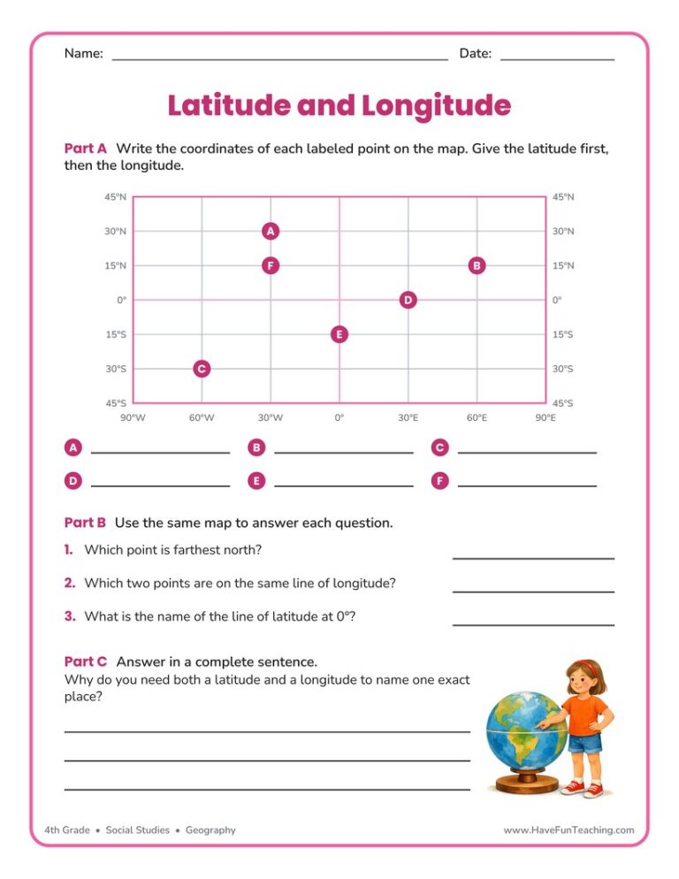
This latitude and longitude worksheet asks 4th grade students to read six points off a labeled map grid, compare them, and explain why both measurements are needed. An answer key is included for fast checking.
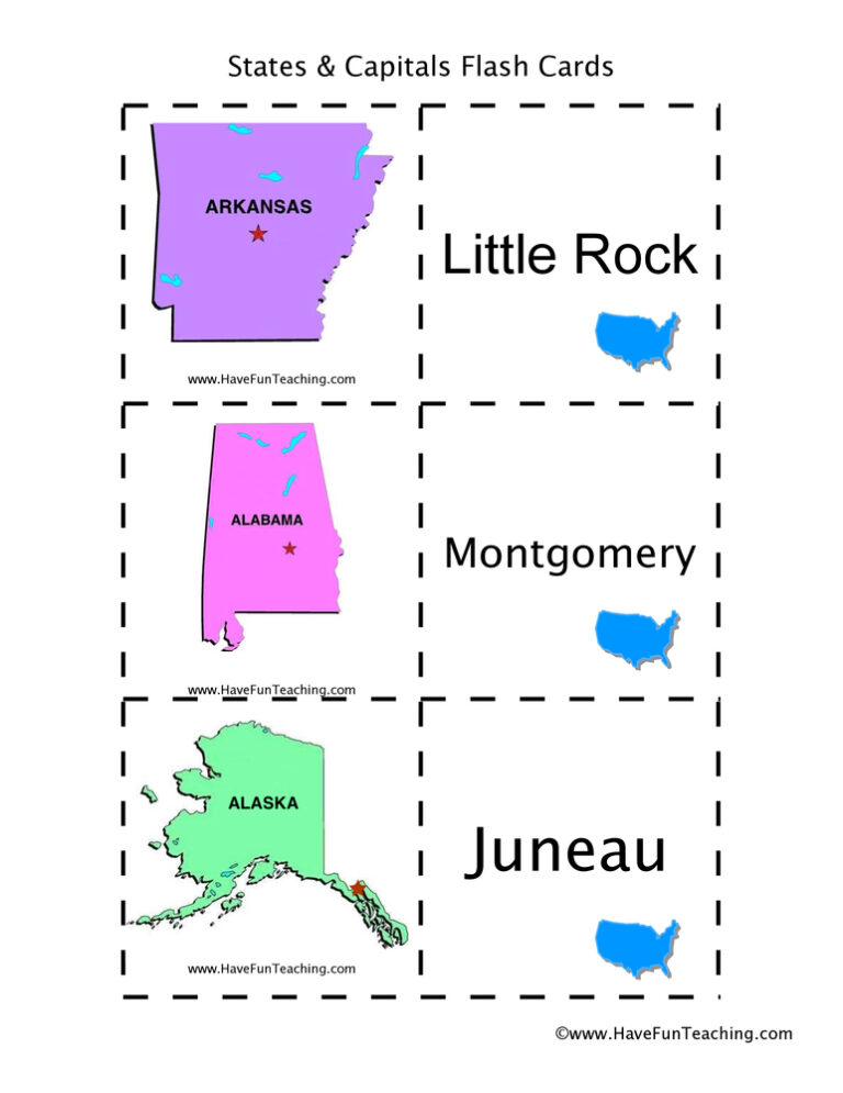
Using US States and Capitals Flash Cards, students memorize US State capitals by looking at a picture of the state.

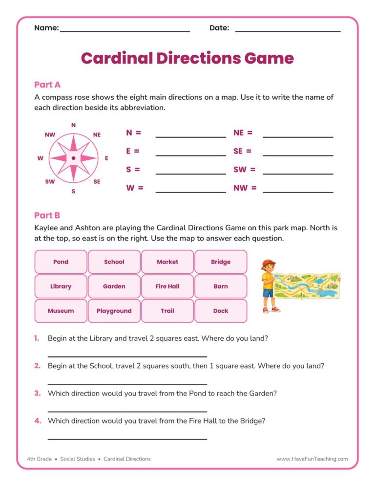
This cardinal directions game worksheet asks 4th graders to name all eight compass points, then walk a park map square by square. An answer key is included, so checking map skills takes only a minute.
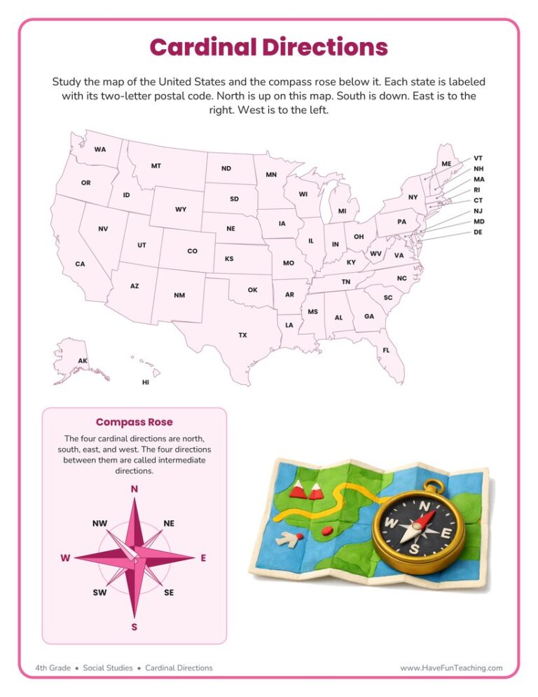
This cardinal directions worksheet gives 4th graders a labeled U.S. map and a compass rose to practice north, south, east, and west. Answer key included for fast, no-prep geography review.

This continents map worksheet gives 4th grade students an unlabelled world map with seven numbered markers, five clue questions and a hemisphere question. Answer key included.
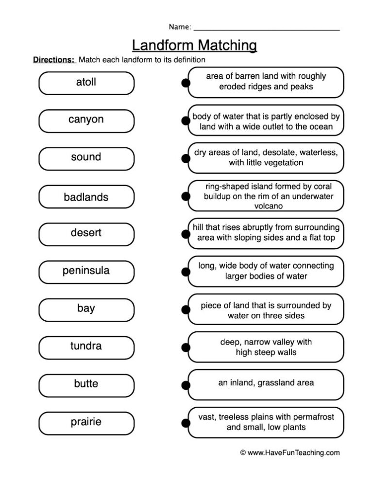
A landform definitions worksheet where 4th graders match six landforms to their meanings, complete clue sentences, and explain their thinking in writing. Answer key included for fast, no-prep geography review.

This Map Scales Worksheet gives 4th grade students a trail map with a printed bar scale, four measuring questions, and two written-scale word problems. An answer key is included, so map skills practice is ready to hand out.
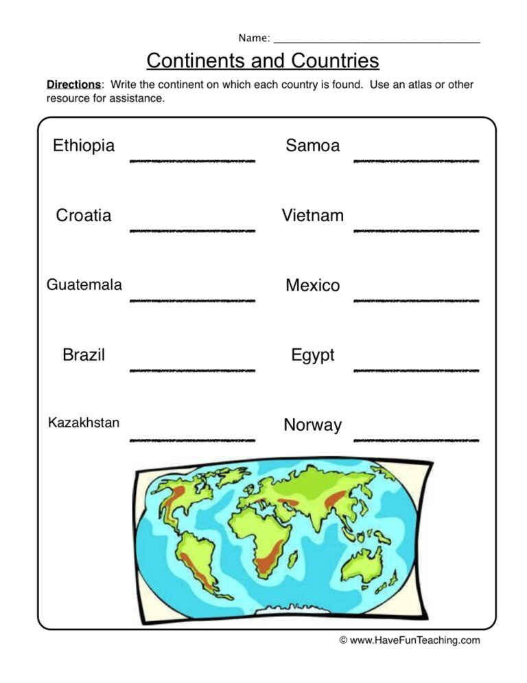
This continents worksheet has 4th Grade students label seven continents on a world map, then name the continent for ten countries. An answer key is included.

This Map Legends Worksheet asks 4th grade students to read a campground map using only its legend and a compass rose, with six questions and a full answer key for quick checking.
UsingUS State Capitals Pictures Flash Cards, students memorize US State capitals by looking at a picture of the state.

Reviews
There are no reviews yet