
Maps Worksheet
This maps worksheet gives 3rd graders a printed town map with a key and a compass rose, then four reading questions and two route questions. An answer key is included, so map skills practice needs no prep.
$6.97
Or free with a membership — members pay $3.33/mo for all 10,000+ resources. See plans
Want this one free?
Tell us where to send it and it’s yours — no card, no catch.
One free resource per teacher. We’ll also send free teaching ideas each week — unsubscribe anytime.
Teaching is easier with a membership
Unlimited printables, games & videos for PreK–6th — for your classroom or homeschool. Cancel anytime.
Start your 3-day free trial$0 today · cancel anytime · Instant access to 10,000+ resources
About this resource
Description
A map is a flat picture of a real place, drawn from above, and it only works if the reader knows how to unlock it. This maps worksheet hands third graders the two tools that do the unlocking: a map key, which tells them what each symbol on the page stands for, and a compass rose, which tells them which way is north, south, east and west. Both tools sit on the same printed town map, so children practice the habit real map readers use, which is to look at the key and the compass first and the picture second.
This 3rd grade maps worksheet puts one small town on the page and then asks six questions about it. The town has four named streets, five landmarks, a map key that pairs each landmark with its own shape, and a compass rose in the corner. In Part A, students answer four questions by reading a single fact off the map, such as which place the star stands for or which street runs between two buildings. In Part B, they follow two routes across the town and write a complete answer on the lines, which takes more than one step and asks them to keep track of what they pass along the way. Use the page as guided practice after a lesson on map keys, as morning work, as a social studies center task, or as a quick check before a unit on communities. A complete answer key is included on the last page.
What’s Included
- 1 print-ready PDF worksheet
- 1 town map with four named streets, a map key and a compass rose
- 4 map key and cardinal direction questions
- 2 multi-step route questions with writing lines
- 1 complete answer key
Three reasons this resource helps children learn to read a map. First, the key uses plain shapes rather than tiny pictures, so a child has to match a symbol to its meaning instead of guessing from a drawing, which is exactly what a real road map or park map asks of them. Second, the questions mix the two skills on purpose, because naming a direction is useless without knowing what sits in that direction, and reading the key is useless without knowing where to look. Third, the two route questions in Part B turn the map into a problem to solve rather than a picture to label, and that is the step that carries into grid maps, atlases and the geography questions on a state test.
Once the maps worksheet is finished, teachers and parents can keep the practice going without any extra printing. Draw a map of the classroom or the backyard together, invent a symbol for each part of it, and build a key along the edge. Tape a compass rose to the wall so children can name the direction a window faces or a door opens. Pull out a real park map, zoo map or mall map and hunt for its key, then ask what three of its symbols mean. Ask a child to give directions from the kitchen to the front door using only north, south, east and west, and follow them exactly as spoken.
Related Resources
What teachers say
Reviews
You must be logged in to post a review.
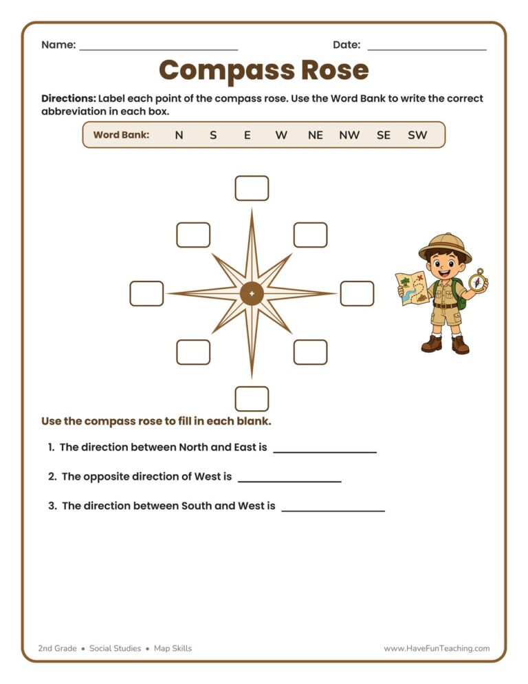
This Compass Rose Worksheet helps 2nd graders label the eight points of a compass rose and practice cardinal and intermediate directions. Includes an answer key for easy, no-prep map skills practice.


Use this Find the Parts of a Map Worksheet to help 2nd Grade students name the title, key, compass rose, and scale on a real map, then read the map to answer questions. Answer key included.
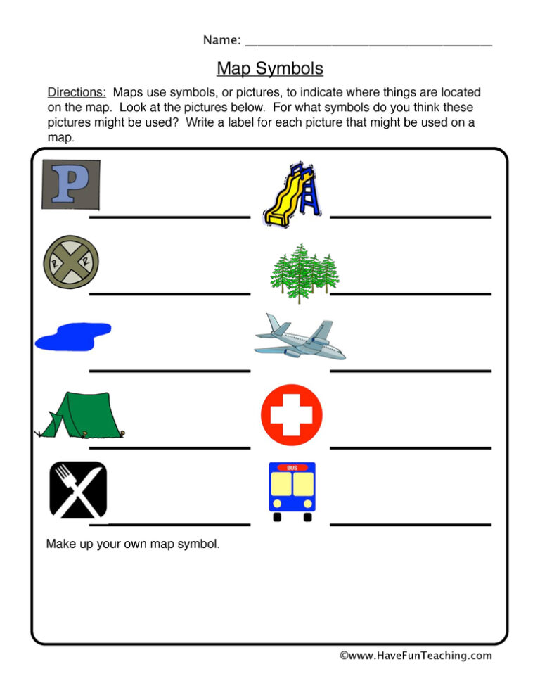
This map symbols worksheet asks 2nd grade students to name six common map pictures using a word box with two extra choices. A full answer key is included, so map key practice takes no prep.
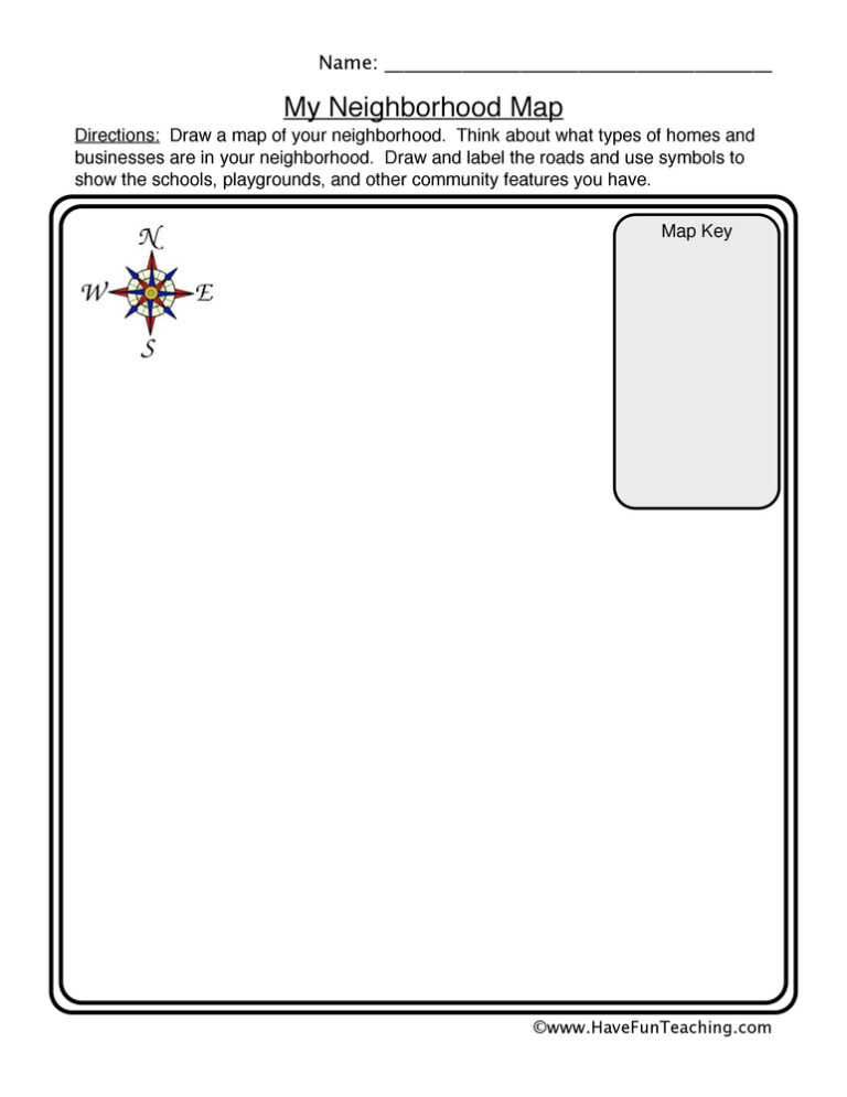
This neighborhood map worksheet has 2nd graders draw their own street from above, then invent symbols and explain them in a map key. An open-ended template that builds real map skills.

This What Are Maps Worksheet gives 2nd graders a short informational passage about maps plus four questions and a written response on the main idea. An answer key is included, so checking work takes seconds.
This being a good citizen worksheet helps 2nd graders spot good-citizen actions and build character words like honest, fair, and responsible. Includes an answer key for easy, no-prep social studies practice.
This good citizenship worksheet helps 2nd graders recognize responsible actions and write ways to help their community. An answer key is included for quick, no-prep character education practice.
This rules consequences worksheet helps 2nd graders match rules to their results, read a picture to name a rule and consequence, and reflect on a rule of their own. Includes an answer key for quick, no-prep character education practice at home or school.
Using this Bullying Worksheet, students write a description explaining how the person could have reacted in a kind way rather than a mean way.

A hands-on library skills worksheet for 2nd Grade: finish four sentences with the word box, then fill out and decorate your very own library card. Answer key included, so students arrive at their next library visit ready.
Reviews
There are no reviews yet