
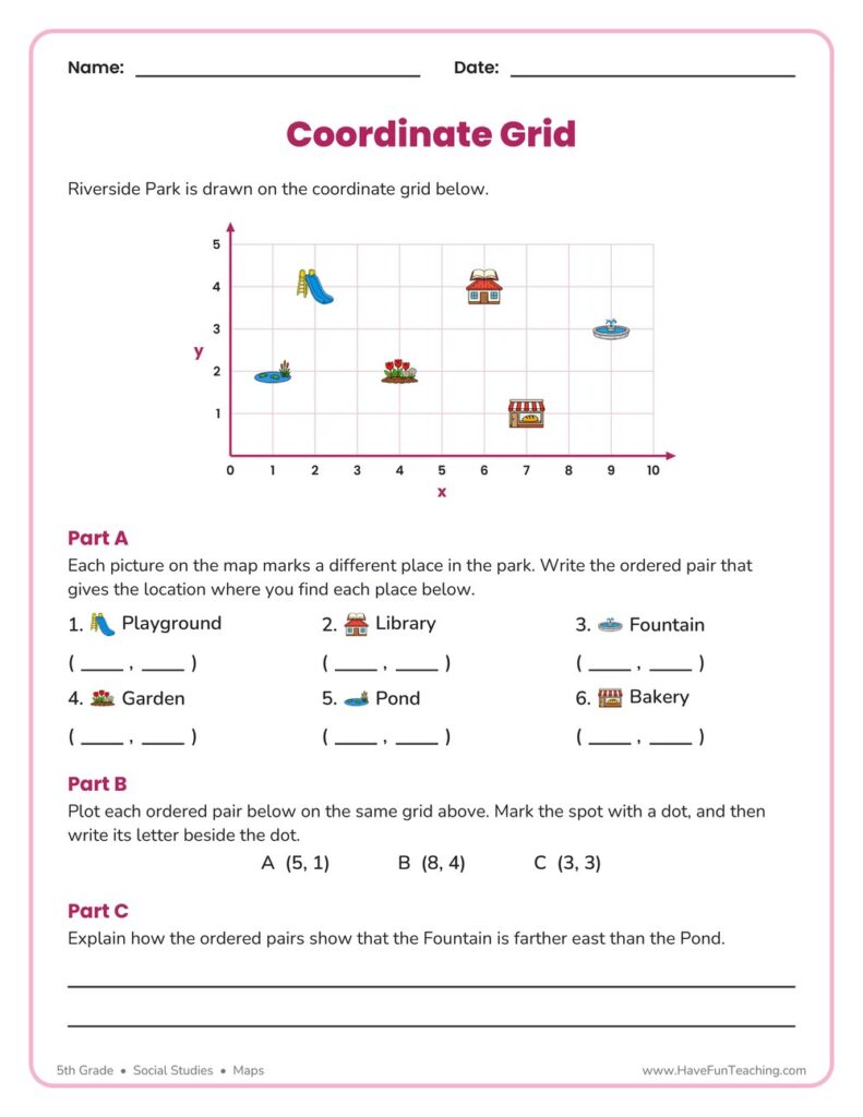
Coordinate Grid Map Location Worksheet
This Coordinate Grid Map Location Worksheet has 5th graders name, plot, and compare places on a park map using ordered pairs. An answer key is included, so grid map skills get real practice with no prep.
$6.97
Want this one free?
Tell us where to send it and it’s yours — no card, no catch.
One free resource per teacher. We’ll also send free teaching ideas each week — unsubscribe anytime.
Free teacher account · no credit card
Membership
Get every game, song, & printable
- Every game, on any device
- 10,000+ printables
- Assign online with HFT Classroom
Then $39.97/year · cancel anytime · See plans
- Instant digital download
- Printable PDF + answer key
- Made by real teachers
Teacher / Family membership
Teaching is easier with every resource
One membership for your whole year: 10,000+ worksheets, games, songs and videos for Preschool–6th, for your classroom or homeschool.
- Unlimited printables & downloads
- Every game, on any device
- Assign online with HFT Classroom
- Cancel anytime
Teacher / Family membership · 3 days free
Yearly
Monthly would be $119.64 a year
$3.33/month
Billed $39.97 once a year
You save $79.67 every year
Start My 3 Free Days$0 today · cancel anytime
Monthly
$9.97/month
Flexible, month to month
Yearly is just $3.33/mo. Switch and save $79.67
Start My 3 Free Days$0 today · cancel anytime
About this resource
Description
Reading a map on a coordinate grid is where map skills and math meet, and it is one of the most useful things a fifth grader learns all year. On a coordinate grid, every place has one exact address made of two numbers: how far it sits along the x axis, and how far it sits along the y axis. This Coordinate Grid Map Location Worksheet gives students a friendly park map drawn on a first-quadrant grid, so they practice naming a location the way real mapmakers, pilots, and city planners do. Once a student can read an ordered pair, a grid map stops being a puzzle and starts being a tool.
This 5th Grade maps worksheet puts a map of Riverside Park on a grid that runs from 0 to 10 across and 0 to 5 up. Six places — a playground, a library, a fountain, a garden, a pond, and a bakery — each sit on one grid intersection. In Part A, students find each picture on the map and write the ordered pair that gives its location. In Part B they work the skill in reverse: three ordered pairs are given, and students plot each one on the same grid and label it with its letter. Part C asks students to compare two locations and explain, in their own words, how the ordered pairs prove which place is farther east. A complete answer key is included, so the sheet works just as well for independent practice as it does for guided instruction.
What’s Included
- 1 print-ready PDF worksheet
- Answer key
- 6 ordered-pair map locations to name, 3 points to plot, and 1 written explanation
There are three reasons this coordinate grid map location worksheet helps students lock the skill in. First, it teaches the order that matters most: x first, then y. Students who mix up the two numbers land in the wrong spot every time, and naming six places in a row builds the habit of counting across before counting up. Second, it works the skill in both directions. Reading a point off a map and plotting a point onto a map are different mental moves, and a student who can only do one has only half the skill. Third, the written explanation in Part C pushes students past pointing at an answer and into justifying it with evidence from the grid, which is exactly what state assessments ask for at this grade.
Teachers and parents can stretch this activity in a lot of directions. Tape a grid on the classroom floor with painter’s tape and let students walk to an ordered pair you call out. Have each student draw a map of their own bedroom, neighborhood, or dream park on grid paper and write a list of coordinates for a partner to find. Play a quick round of “guess my spot,” where one student marks a secret point and gives clues about its x and y numbers. Connect the sheet to a real atlas by pointing out the letter-number grid printed in the margins of a road map, then talk about how a coordinate grid does the same job with more precision. Five minutes of grid talk a day adds up fast.
Related Resources
What teachers say
Reviews
You must be logged in to post a review.

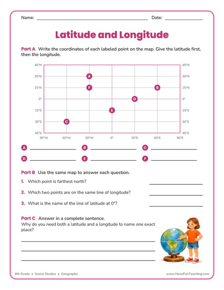
This using latitude and longitude worksheet has 5th grade students read coordinates from a grid map, plot two new points, and explain the Equator. Answer key included for quick checking.
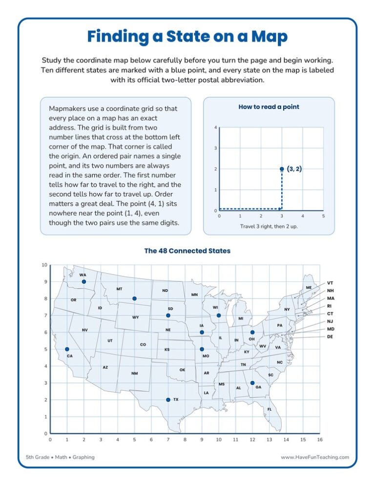
This Finding a State on a Map Worksheet gives 5th grade students a coordinate grid drawn over a United States map, plus a full answer key, so ordered pairs finally point at real places.

This maps worksheet gives 3rd graders a printed town map with a key and a compass rose, then four reading questions and two route questions. An answer key is included, so map skills practice needs no prep.
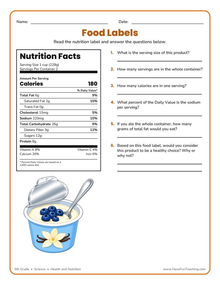
A 5th grade reading food labels worksheet where students study a real Nutrition Facts panel to find serving size, calories, and daily values. Includes a complete answer key for fast, no-prep nutrition practice.
This Constitution Worksheet gives 5th grade students word bank, matching, and short answer practice on the Preamble, the Framers, amendments, and the three branches of government. Answer key included for fast, no-prep civics review.
Using this Bullying Worksheet, students write a description explaining how the person could have reacted in a kind way rather than a mean way.
Using US States and Capitals Flash Cards, students memorize US State capitals by looking at a picture of the state.
The Community Song teaches kids how to be a good citizen in the community. This is a fun citizenship song that teaches kids about being a citizen and being part of their community.
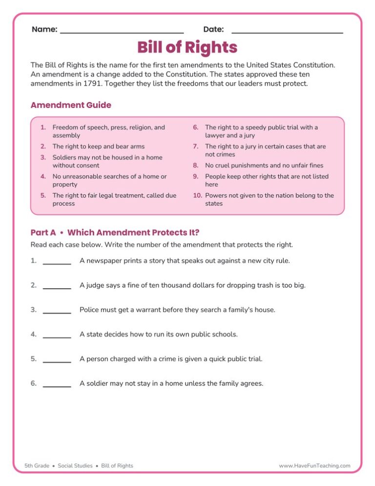
This Bill of Rights Worksheet gives 5th graders a plain-language Amendment Guide, then asks them to match real situations to the right amendment. Answer key included for fast, no-prep civics practice.


Using the Going Green Song (Animated Music Video), students learn all about ways to reduce, reuse, and recycle and so much more through a catchy video!
Reviews
There are no reviews yet