

Climate Map Worksheet
This climate map worksheet has 3rd Grade students read a color-coded map of the United States and use its key to name the climate of any state. Answer key included, so checking work takes seconds.
$6.97
Or free with a membership — members pay $3.33/mo for all 10,000+ resources. See plans
Want this one free?
Tell us where to send it and it’s yours — no card, no catch.
One free resource per teacher. We’ll also send free teaching ideas each week — unsubscribe anytime.
Teaching is easier with a membership
Unlimited printables, games & videos for PreK–6th — for your classroom or homeschool. Cancel anytime.
Start your 3-day free trial$0 today · cancel anytime · Instant access to 10,000+ resources
About this resource
Description
A climate map worksheet helps students see that different parts of our country have very different weather. Climate is the kind of weather a place has year after year, and mapmakers show those patterns with color. Learning to read a climate map builds two skills at once: understanding climate zones, and pulling information out of a map key instead of a paragraph. This 3rd grade climate worksheet gives students a colorful, hands-on place to practice both.
This Climate Map Worksheet is a three-page printable. On page one, students study a full-color climate map of the United States. Every state is filled with the color of its climate zone and labeled with its two-letter postal code, and a key below the map explains what each color stands for. On page two, eight questions send students back to the map again and again: short-answer questions, fill-in-the-bubble questions, and a written response that compares the climate of two different states. Print it, hand it out, and let students work with the map in front of them.
What’s Included
- A full-color climate map of all fifty states, including Alaska and Hawaii
- A five-color map key: Polar, Cold, Mild, Hot and Humid, and Hot and Dry
- Four short-answer questions that practice reading the map key
- Three fill-in-the-bubble questions
- One written response comparing the climate of two states
- A complete answer key
Why Students Love It
First, it turns a big idea into something children can see. Instead of memorizing a definition, students look at a map and notice that the north is one color and the south is another. Second, it practices a skill that shows up on almost every science and social studies test: using a key to read a map. Third, it connects to a child’s own life. Students can find their own state, name its climate, and then compare it to a state a friend or a cousin lives in.
Ideas for Teachers and Parents
Use this climate map worksheet to open a unit on weather and climate, or as a review before a test. Ask students to find their own state first, then trace north to south and describe what changes. Pair students and have each one pick a state for the other to look up. For an extension, have students draw a picture of what they would pack for a trip to a hot and dry state and a trip to a cold state, and explain their choices using the map key. It also works well as a center activity, morning work, or a substitute-teacher day.
Related Resources
What teachers say
Reviews
You must be logged in to post a review.
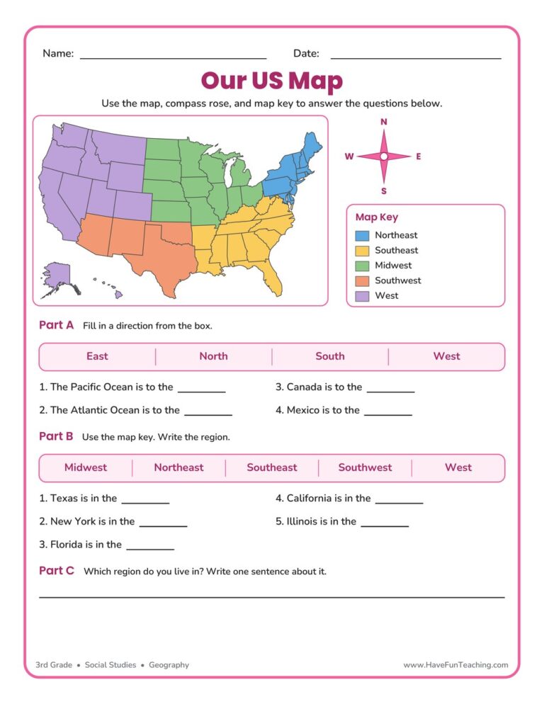
This US Map Worksheet helps 3rd grade students name the five regions of the United States, use a compass rose, and read a map key. An answer key is included, making map skills easy and fun to practice.
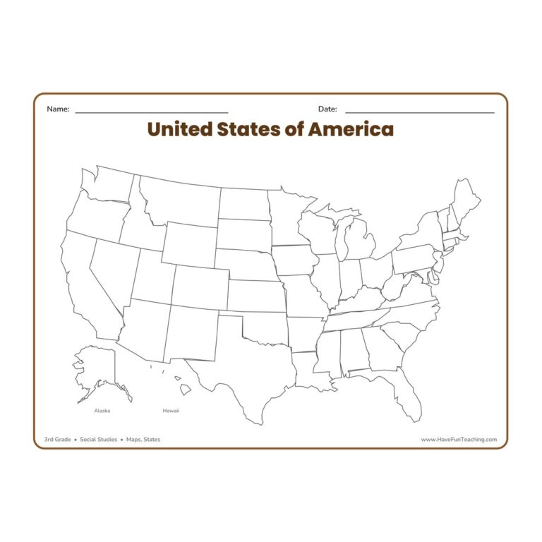
The United States Blank Map Worksheet gives 3rd graders a full, landscape outline map of the USA with all fifty states left blank and ready to label, color, or study for hands-on geography and map-skills practice.
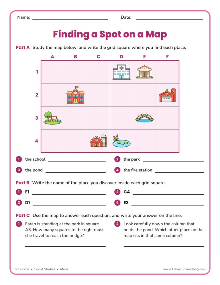
A finding a spot on a map worksheet for 3rd grade, built on one labeled town grid with place-to-square, square-to-place, and reasoning questions. Answer key included for quick no-prep map skills practice.
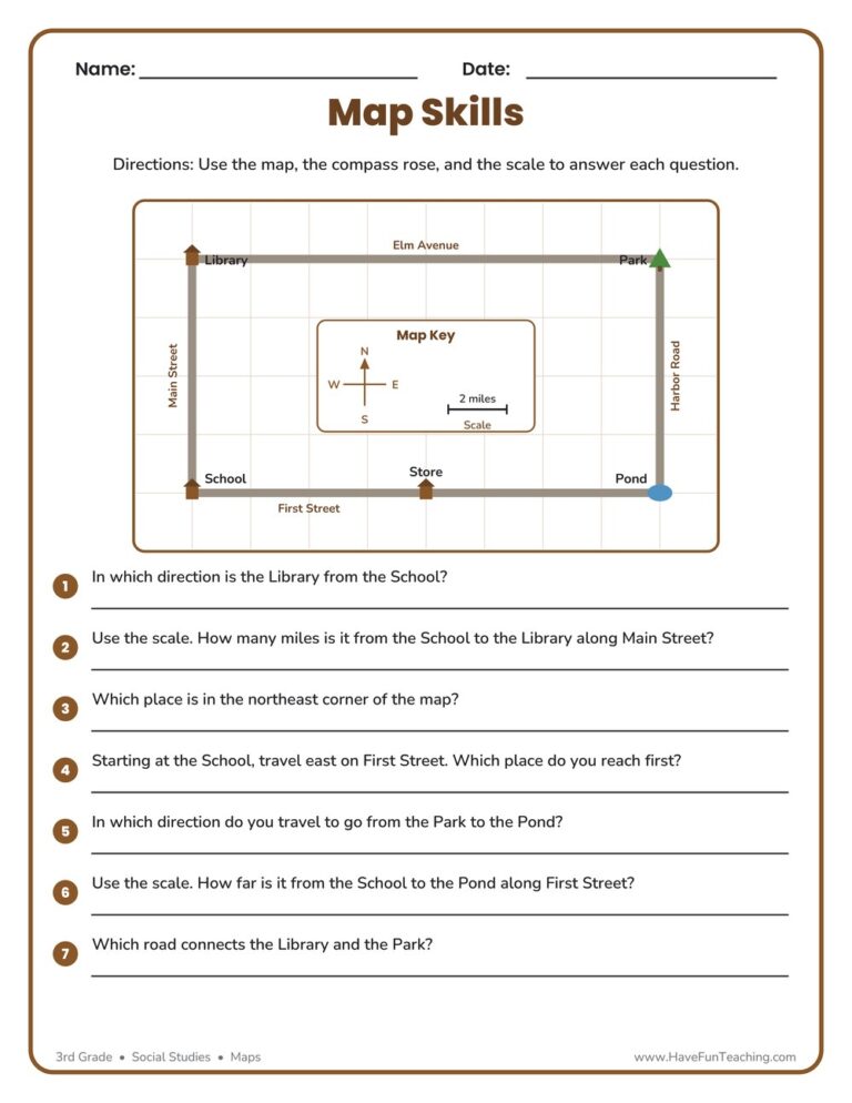
This Map Skills Worksheet gives 3rd graders a friendly town map for practicing the compass rose, legend, and scale to find places and measure distances. Includes a complete answer key for quick, no-prep social studies practice.
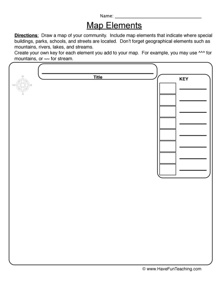
This Make a Map Worksheet gives 3rd graders a real town map to label and read, covering the title, map key, compass rose, and scale bar. Answer key included for fast, no-prep geography practice.

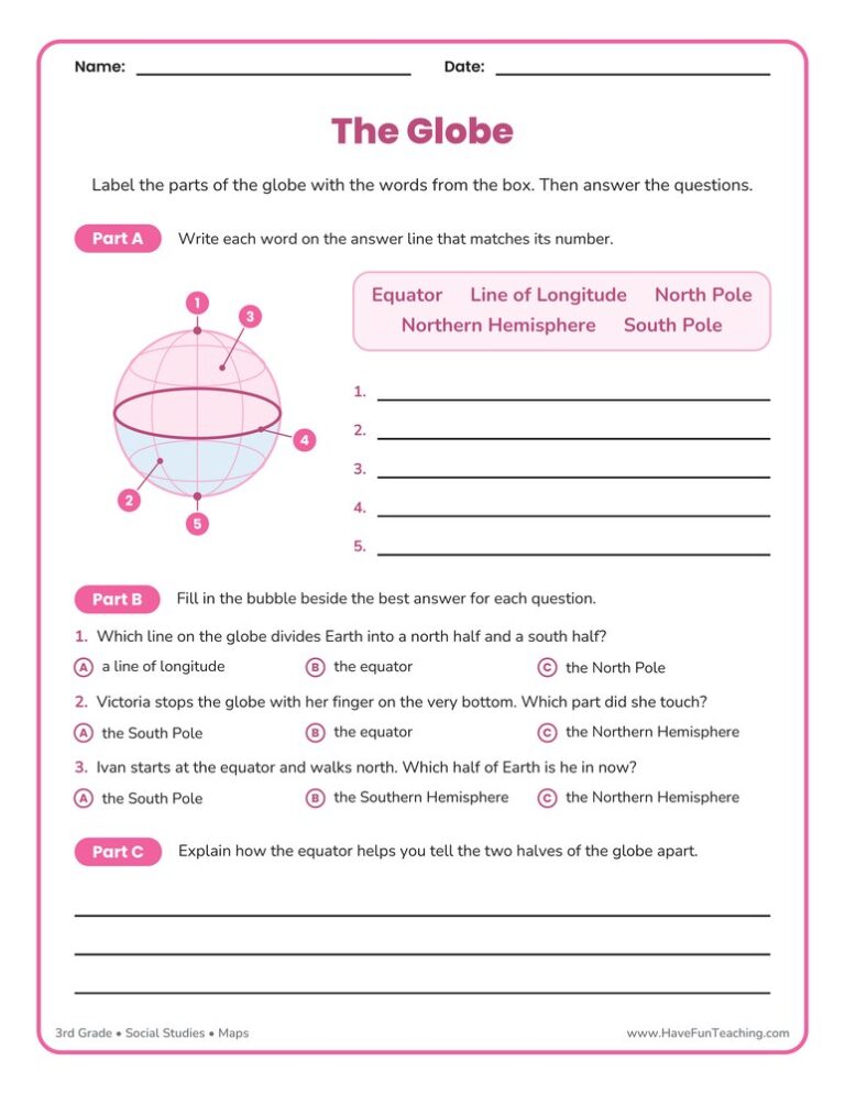
This globes worksheet has 3rd graders label the equator, the poles, the hemispheres, and a line of longitude on a clear globe diagram, then answer questions about them. Answer key included for fast, no-prep geography practice.
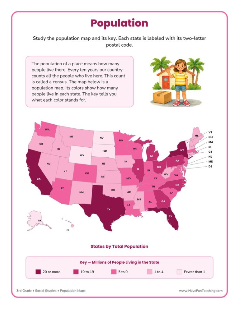
Students read a full-color U.S. population map worksheet, use the map key to compare states, and explain their thinking. Built for 3rd grade with a complete answer key - no-prep geography practice.
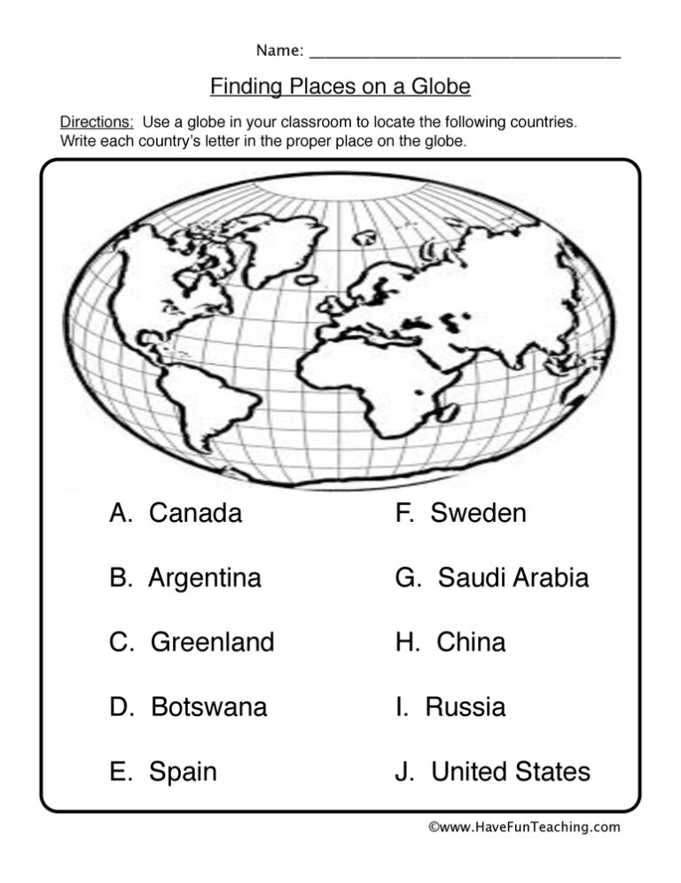
This Finding Places on a Globe Worksheet has 3rd graders label the North Pole, equator, prime meridian, and three continents on a real globe. An answer key is included, so checking work takes seconds.
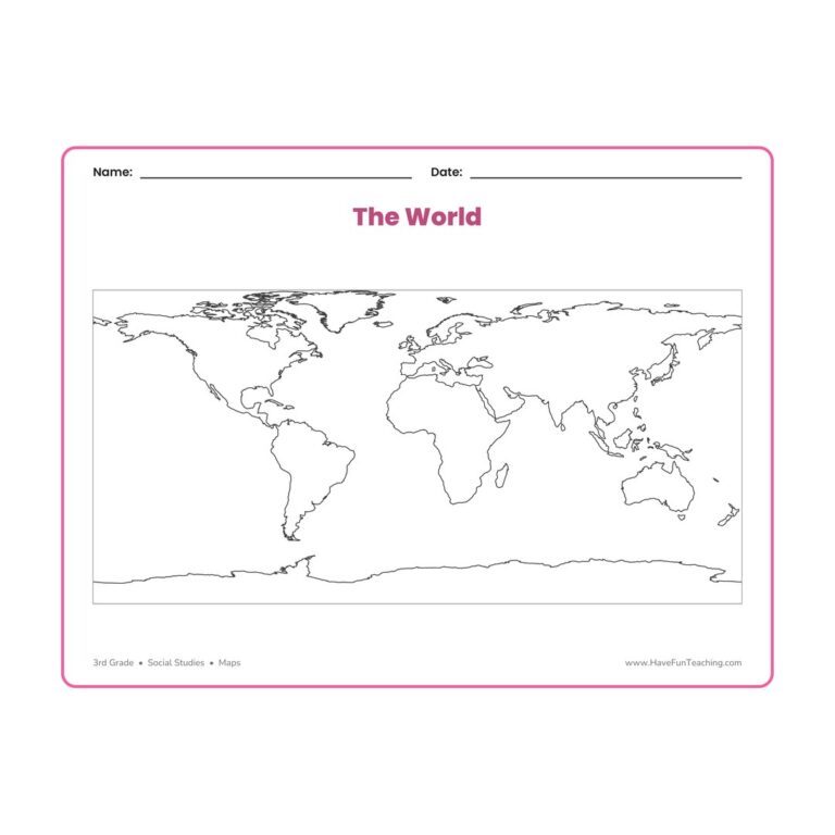
This world blank map worksheet gives 3rd grade students a clean outline map of every continent to label, color, and study, so geography lessons stay hands-on and easy to remember all year.
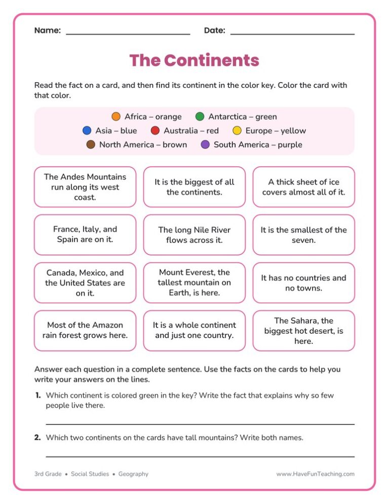
This Coloring Continents Worksheet lets 3rd graders color twelve fact cards by continent and answer two questions using the facts. An answer key is included, so checking the work is quick and easy.

This maps worksheet gives 3rd graders a printed town map with a key and a compass rose, then four reading questions and two route questions. An answer key is included, so map skills practice needs no prep.
Reviews
There are no reviews yet