

United States Blank Map Worksheet
The United States Blank Map Worksheet gives 3rd graders a full, landscape outline map of the USA with all fifty states left blank and ready to label, color, or study for hands-on geography and map-skills practice.
$6.97
Or free with a membership — get this and 10,000+ resources. See plans
Teaching is easier with a membership
Unlimited printables, games & videos for PreK–6th — for your classroom or homeschool. Cancel anytime.
Start your 3-day free trialNo commitment · Cancel anytime · Instant access to 10,000+ resources
About this resource
Description
Learning where each of the fifty states sits is a foundational social studies and geography skill, and a clean outline map makes that learning hands-on. This United States Blank Map Worksheet gives 3rd grade students a full, unlabeled map of the USA, with every state outlined and ready to be filled in. Instead of memorizing a plain list, children see how the states fit together and where each one belongs within the whole country.
This printable page shows the complete United States in landscape format, including Alaska and Hawaii as insets, with all fifty state borders drawn and left blank. Because there are no labels, numbers, or word bank, the sheet is wonderfully flexible: use it to label and name states, to color and study regions, to quiz map knowledge, or as a reference map students return to again and again. To use it, print the page, decide how you want students to work with the map, and let them write, color, or trace directly on the states.
What’s Included
One printable, single-page United States Blank Map Worksheet in landscape format, featuring all fifty states with Alaska and Hawaii insets and a clean outline design ready for labeling, coloring, or map-skills practice.
This blank map of the United States worksheet helps in three key ways. First, it builds spatial awareness, so students learn not only state names but where each state is located and which states share borders. Second, it is open-ended, which means the same map works for beginners naming a few familiar states and for advanced learners labeling all fifty. Third, it reinforces the geography vocabulary and map-reading habits that carry into later grades.
Teachers and parents can use this united states blank map worksheet in many ways: have students label their home state and its neighbors, color states by region, mark the state capitals, trace a travel route across the country, or use the map as a study guide before a geography quiz. It pairs naturally with lessons on landforms, U.S. history, and current events.
Related Resources
What teachers say
Reviews
You must be logged in to post a review.


Using this Find the Parts of a Map Worksheet, students observe a map and locate the map elements used within it in order to use a map effectively.
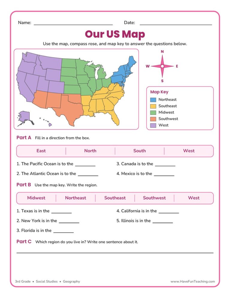
This US Map Worksheet helps 3rd grade students name the five regions of the United States, use a compass rose, and read a map key. An answer key is included, making map skills easy and fun to practice.
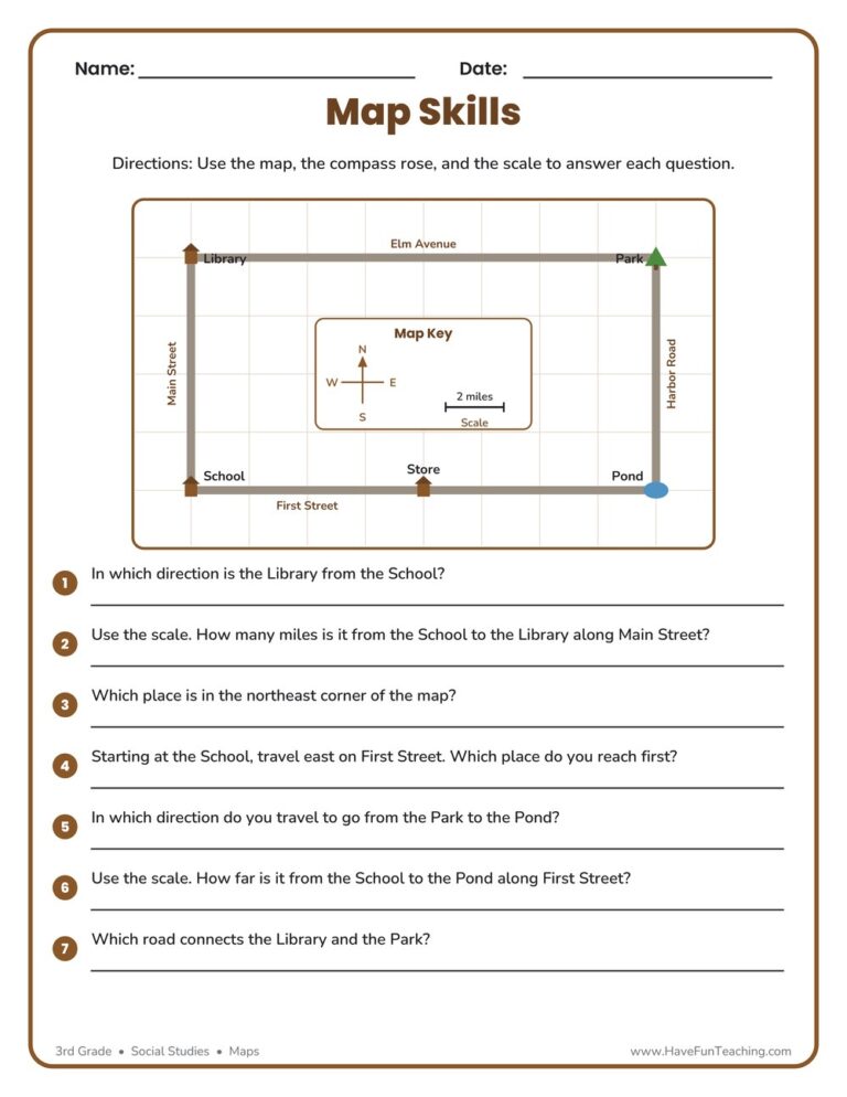
This Map Skills Worksheet gives 3rd graders a friendly town map for practicing the compass rose, legend, and scale to find places and measure distances. Includes a complete answer key for quick, no-prep social studies practice.
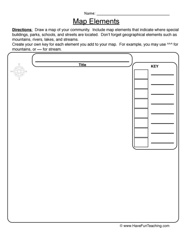
This Make a Map Worksheet gives 3rd graders a real town map to label and read, covering the title, map key, compass rose, and scale bar. Answer key included for fast, no-prep geography practice.
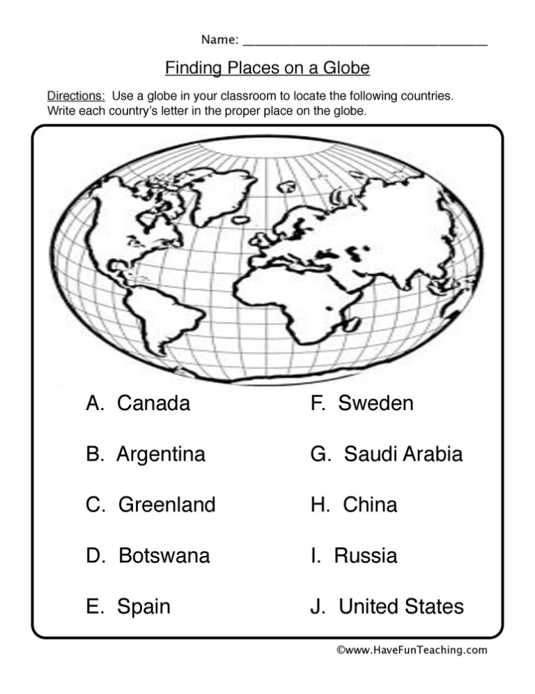
Using Finding Places on a Globe Worksheet, students label the countries on a world map using a word bank to build their geography skills.
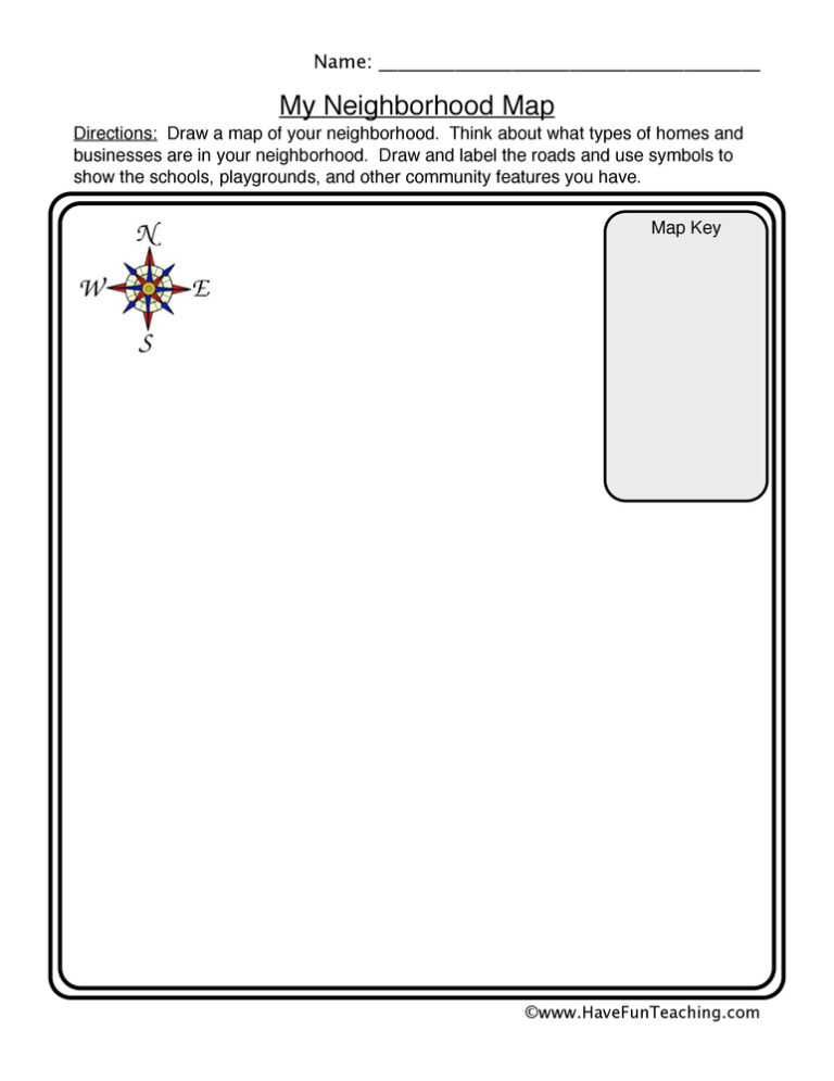
Using this Neighborhood Map Worksheet, students create a map with map elements used within it in order to use a map effectively.

Using Continents Worksheet - Analyze, students analyze a map using guiding questions to increase their geography skills and continent knowledge.

This climate map worksheet has 3rd Grade students read a color-coded map of the United States and use its key to name the climate of any state. Answer key included, so checking work takes seconds.
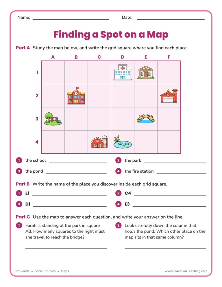
A finding a spot on a map worksheet for 3rd grade, built on one labeled town grid with place-to-square, square-to-place, and reasoning questions. Answer key included for quick no-prep map skills practice.
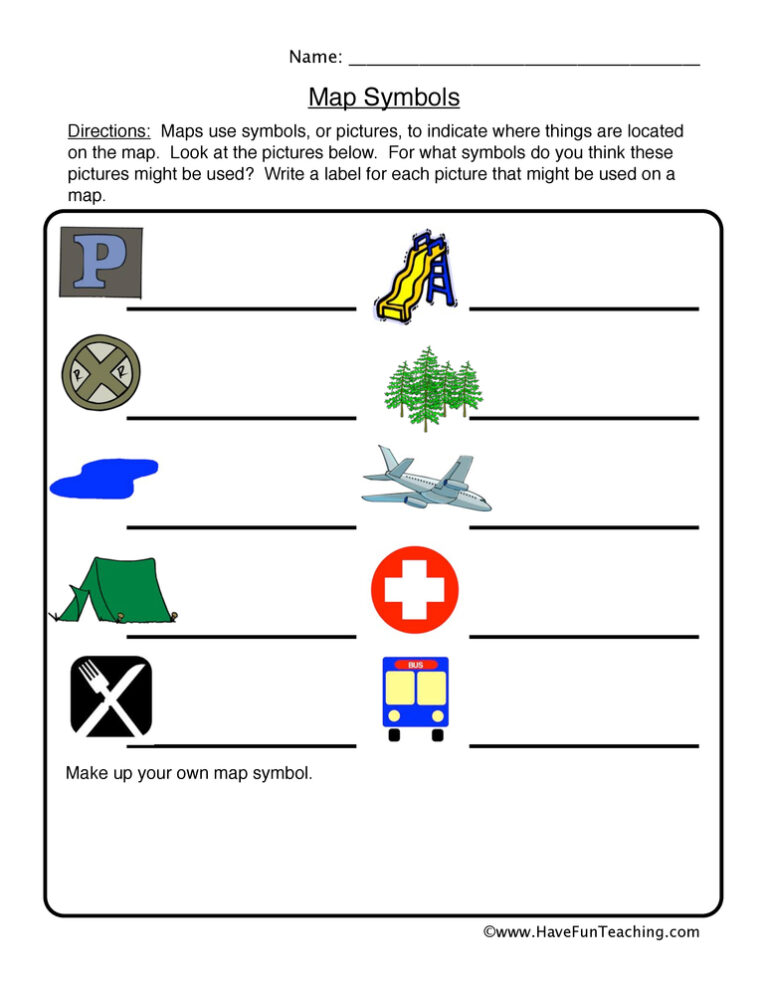
Using this Map Symbols Worksheet, students write labels for the map symbols.to build their map skills.
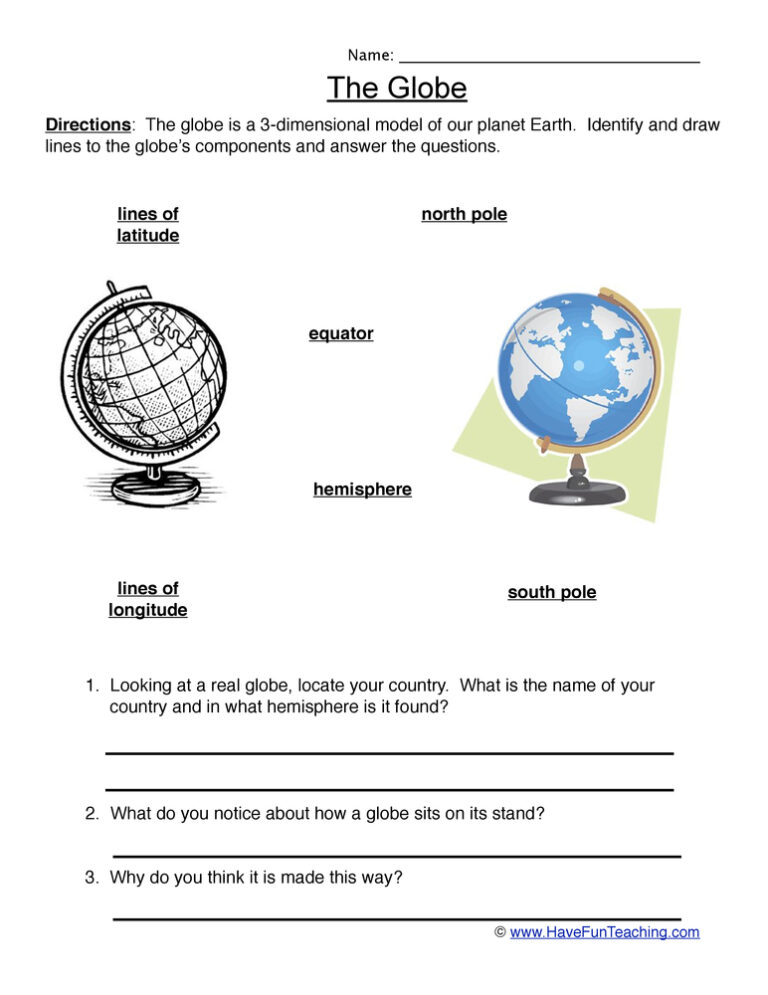
UsingGlobes Worksheet, students identify and draw lines to the globe's components to build an understanding of how they work.
Reviews
There are no reviews yet